Address & Contact

Parkplatz Öfen (P1)

Town:

Gaistal, 6105 Leutasch

Phone:

Email:

Web:

Parking lot & parking garage

The obligation to pay applies daily from 00:00 to 24:00.

RATES FOR CARS   
1 Day: € 5,-
2 Days: € 10,-
3 Days: € 15,-

RATES FOR BUSES
No bus parking available

- Contactless payment possible
- Payment possible with the EasyPark app
- Cash payment only with coins (€ 2,-, € 1,- and € 0.50), machine does not give change 

A few meters before the Öfen parking lot, there is a change machine at the booth!

Connected Tours

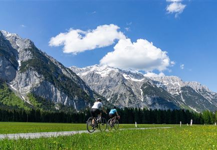
Gravelbike Asphaltstraße mit Bergpanorama - Leutasch

Cycling

Biketour Wettersteinrunde

Length

77,80 km

Duration

06:30 h

Uphill

1754 hm

Altitude

1599 hm

Difficulty

Hard

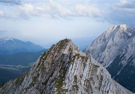
Wanderer auf dem Predigtstuhl.jpg

Hiking

Bike & Hike Predigtstuhl, 2.234 m

Length

19,00 km

Duration

04:30 h

Uphill

1015 hm

Altitude

2234 hm

Difficulty

Hard

Gravelbiker auf dem Radweg durch das Leutaschtal im Sommer

Cycling

Biketour Nr. 537 durch das Leutaschtal

Length

32,46 km

Duration

01:10 h

Uphill

200 hm

Downhill

205 hm

Altitude

1236 hm

Difficulty

Easy

Radtour ins Gaistal - Bruecke am Eingang vom Gaistal

Hiking

Bike & Hike Seebensee & Drachensee

Length

31,00 km

Duration

04:45 h

Uphill

820 hm

Altitude

1897 hm

Difficulty

Medium

Wanderguppe auf dem Gipfel der Gehrenspitze oberhalb von Leutasch

Hiking

Bike & Hike Gehrenspitze, 2.367 m

Length

21,00 km

Duration

07:00 h

Uphill

1150 hm

Altitude

2367 hm

Difficulty

Hard

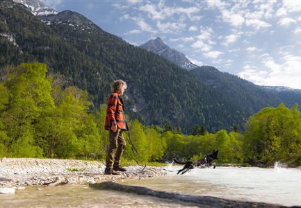
Spaziergang mit Hund in Unterleutasch - Hund spricht ins Wasser an der Leutascher Ache.jpg

Hiking

Hundefreilaufzone entlang der Leutascher Ache

Length

1,50 km

Duration

00:30 h

Uphill

28 hm

Difficulty

Easy

Tillfussalm im Gaistal - Hütte und Terrasse am Morgen.jpg

Cycling

Biketour Tillfussalm

Length

9,60 km

Duration

01:20 h

Uphill

174 hm

Altitude

1358 hm

Difficulty

Easy

Wettersteinhuette (l) und Wangalm (r) im Wettersteingebirge (2).jpg

Cycling

Biketour Nr. 540 Wettersteinhütte-Wangalm

Length

14,00 km

Duration

01:30 h

Uphill

618 hm

Altitude

1761 hm

Difficulty

Hard

Similar Infrastructures