Start Point

Leutasch parking Salzbach (P3-5)
End Point

Leutasch parking Salzbach (P3-5)
Difficulty

Medium

Total Distance

16,40 km

Descent Meters

472 m

Ascent Meters

472 m

Highest Point

1312 m

Total Time

02:00 h

Map & Elevation Profile

Start Point

Leutasch parking Salzbach (P3-5)
End Point

Leutasch parking Salzbach (P3-5)
Difficulty

Medium

Total Distance

16,40 km

Descent Meters

472 m

Ascent Meters

472 m

Highest Point

1312 m

Total Time

02:00 h

Cycling

Best Time

Jan

Feb

Mar

Apr

May

Jun

Jul

Aug

Sep

Oct

Nov

Dec

Mountainbike tour

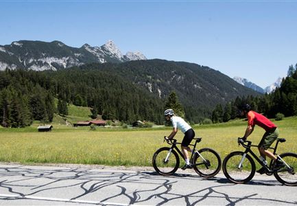
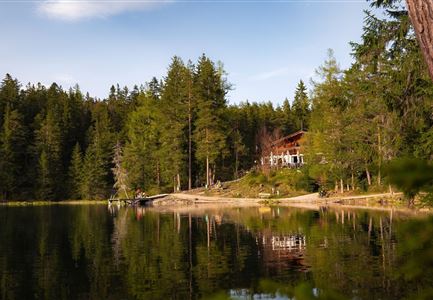
Wonderful bike connection with a picturesque Inntal view from the Ropferstub'm in Buchen
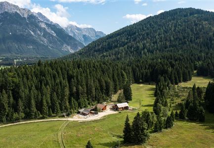
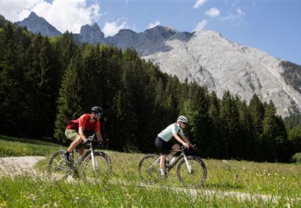
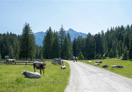
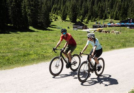
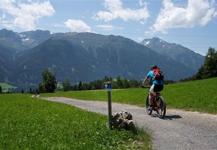
From the starting point at the last (paid) parking lot at the Salzbach in Gaistal, take the first ascent towards alpine paradise Gaistal, but then keep left, cross the turquoise blue Leutascher Ache and start the first sporty kilometer of gravel road uphill. After the ascent, take the first left and roll more leisurely through the shadowy freshness of the Bichlwald (keep left). In Obern turn right onto the asphalted road and continue to Moos. Immediately before Zottelhof, the bike tour turns right again into the forest and now takes a somewhat more challenging gravel road uphill through the picturesque Katzenloch. In Buchen you’ll meet the asphalted road again, cross it and roll the last 300 meters comfortably on the municipal road until you reach the cozy Ropferstub'm. With delicious specialties and freshly tapped refreshments, the sunsets here reward you with a particularly picturesque blaze of colors. To get back to the starting point / parking lot, take the same way back.

Features & Characteristics

Start Point

Leutasch parking Salzbach (P3-5)
End Point

Leutasch parking Salzbach (P3-5)
Similar Tour Suggestions

E-Biken auf die Hämmermoosalm

Cycling

Biketour No. 5047 Gaistal-Hämmermoosalm

Length

3,90 km

Duration

00:30 h

Uphill

171 hm

Altitude

1417 hm

Difficulty

Medium

Muggenmoosalm bei Leutasch im Sommer - Drohnenaufnahme.jpg

Cycling

Biketour No. 5048 Muggenmoosalm

Length

14,80 km

Duration

01:45 h

Uphill

326 hm

Downhill

323 hm

Altitude

1370 hm

Difficulty

Medium

Möserer See im Frühling - Paar auf Liege vor Möserer Seestube von aus der Entfernung.jpg

Cycling

Biketour Seefeld - Mösern - Wildmoos - Katzenkopf - Fludertal - Seefeld

Length

27,20 km

Duration

04:00 h

Uphill

657 hm

Downhill

651 hm

Altitude

1368 hm

Difficulty

Medium

Wildmoos (c) Anna Rieder

Cycling

Biketour No. 5069 Seefeld-Wildmoos

Length

6,30 km

Duration

00:30 h

Uphill

122 hm

Downhill

120 hm

Altitude

1308 hm

Difficulty

Medium

Radfahrerin beim Sonnenaufgang im Gaistal - 02.jpg

Cycling

Gravelbiketour Gaistal

Length

18,10 km

Duration

01:45 h

Uphill

353 hm

Downhill

194 hm

Altitude

1363 hm

Difficulty

Medium

Partially open
Leutascher Ache im Sommer mit Blick auf die Hohe Munde - Weidach - 1350x1080.jpg

Cycling

Biketour Arnspitzrunde

Length

33,00 km

Duration

03:30 h

Uphill

380 hm

Altitude

1220 hm

Difficulty

Medium

Seebensee mit Raeder im Vordergrund

Cycling

Biketour No. 551 Seebensee

Length

27,60 km

Duration

01:40 h

Uphill

561 hm

Downhill

557 hm

Altitude

1581 hm

Difficulty

Medium

Gravelbiker in Scharnitz im Sommer

Cycling

Bike-connection No. 5051 Seefeld-Scharnitz

Length

25,30 km

Duration

01:45 h

Uphill

256 hm

Downhill

250 hm

Altitude

1195 hm

Difficulty

Medium