Start Point
Ganghoferbogen next to the soccer field
End Point
Ganghoferbogen next to the soccer field
Difficulty
Easy
Total Distance
2,80 km
Descent Meters
20 m
Highest Point
1150 m
Status
Cross-country Skiing
Best Time
Jan
Feb
Mar
Apr
May
Jun
Jul
Aug
Sep
Oct
Nov
Dec
Ski-nordic-classic
The trail has been available daily from 09.00 to 16.30 since 14.11.2025.
This trail is freshly groomed every day. However, icy and slippery sections may still occur.
Trail Entry Point:
At the Ganghofer Arch in Weidach (opposite of the soccer field)
Trail Character:
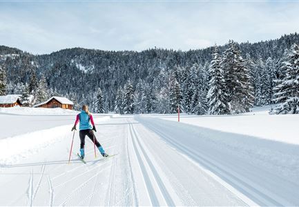
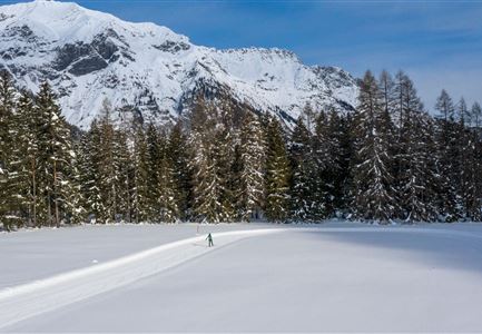
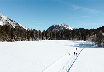
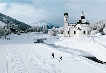
The A2 Snowfarming Trail offers snow reliability and ideal conditions for both professional athletes and recreational skiers as early as November. The access point is located at the Ganghoferbogen next to the football field. From there, the track runs along the Leutascher Ache to the Aumoos Alm (not serviced). On a 2.8 km long and 4-meter-wide loop, both skating and classic techniques can be trained. The trail has an elevation gain of 20 meters. After completing the loop, skiers can enjoy refreshments at Gasthaus Dorfstadl or Restaurant Vabene, both conveniently located at Parking Lot P23 "Alpenbad."
Find all information about snow farming here.
For a complete overview of the trail network (including real-time trail status) and useful information on cross-country skiing (ticket machines, waxing and service stations, changing facilities, etc.), please refer to the Cross-country Skiing Report.
Features & Characteristics
Stamina
Technique
Start Point
Ganghoferbogen next to the soccer field
End Point
Ganghoferbogen next to the soccer field
Skating
Yes
Klassisch
Yes
Snow cover
Yes
