Weather reportSunny12° / 29° CDetails & further outlookWeather ShowMountain lift facilities3 out of 5 in operation huts Webcams Weather Show
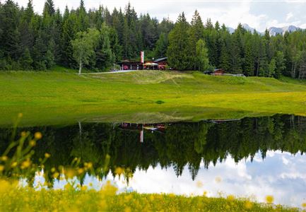
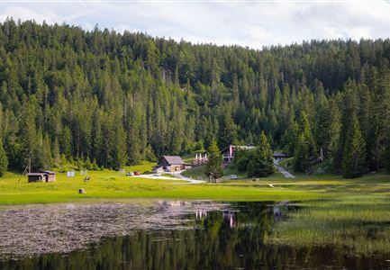
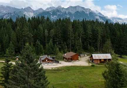
Circular hike from Seefeld to the Lottenseehütte alpine hut & Muggenmoosalm alpine hutStarting point: SeefeldFinishing point: SeefeldHighest point: 1,398 mDuration04:30 hRoute distance15.3 kmAscent554 mLevel of difficultyeasy
Circular hiking traill Wildmoos-HochmoosStarting point: Katzenkopf parking area (P14)Finishing point: Katzenkopf parking area (P14)Highest point: 1,544 mDuration04:00 hRoute distance10.0 kmAscent437 mLevel of difficultymedium
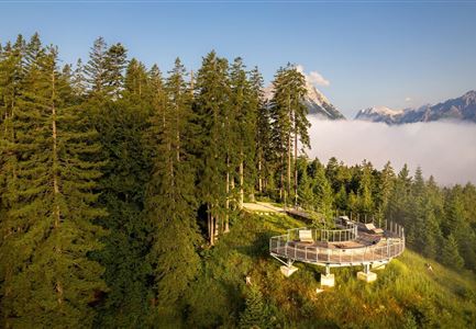
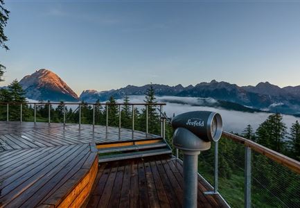
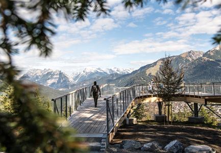
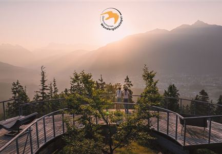
Viewpoint Brunschkopf via GeiernestStarting point: Seefeld little church SeekirchlFinishing point: BrunschkopfHighest point: 1,493 mDuration01:45 hRoute distance4.7 kmAscent314 mLevel of difficultymedium
Jakobsweg Etappe 12: from Buchen to Telfs/MötzStarting point: Ropferstub'm BuchenFinishing point: Telfs / MötzHighest point: 1,310 mDuration06:00 hRoute distance23.7 kmAscent711 mLevel of difficultymedium
Hill Brunschkopf (Circular Walk)Starting point: Seefeld WM hallFinishing point: Seefeld WM hallHighest point: 1,497 mDuration04:00 hRoute distance12.0 kmAscent386 mLevel of difficultymedium
Hike Schlagweg-Rauthgatter-WildmoosStarting point: Leutasch / OstbachFinishing point: WildmoosalmHighest point: 1,345 mDuration01:45 hRoute distance5.7 kmAscent191 mLevel of difficultyeasy
Circular tour around the BrunschkopfStarting point: Seefeld WM hallFinishing point: Seefeld WM hallHighest point: 1,371 mDuration04:00 hRoute distance12.8 kmAscent265 mLevel of difficultyeasy
Viewpoint Brunschkopf via Möserer HöheStarting point: Information center MösernFinishing point: Viewpoint BrunschkopfHighest point: 1,498 mDuration01:30 hRoute distance3.4 kmAscent282 mLevel of difficultymedium
Viewpoint Brunschkopf via forest roadStarting point: lake Möserer SeeFinishing point: BrunschkopfHighest point: 1,496 mDuration01:30 hRoute distance4.0 kmAscent284 mLevel of difficultymedium
Circular hike to the Wildmossalm alpine hut & Lottenseehütte alpine hutStarting point: Mösern lakeFinishing point: MösernHighest point: 1,420 mDuration02:30 hRoute distance7.1 kmAscent250 mLevel of difficultyeasy