Discover true Alpine diversity

Discover true Alpine diversity

Hiking trails in the Region Seefeld

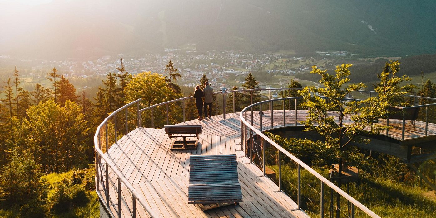
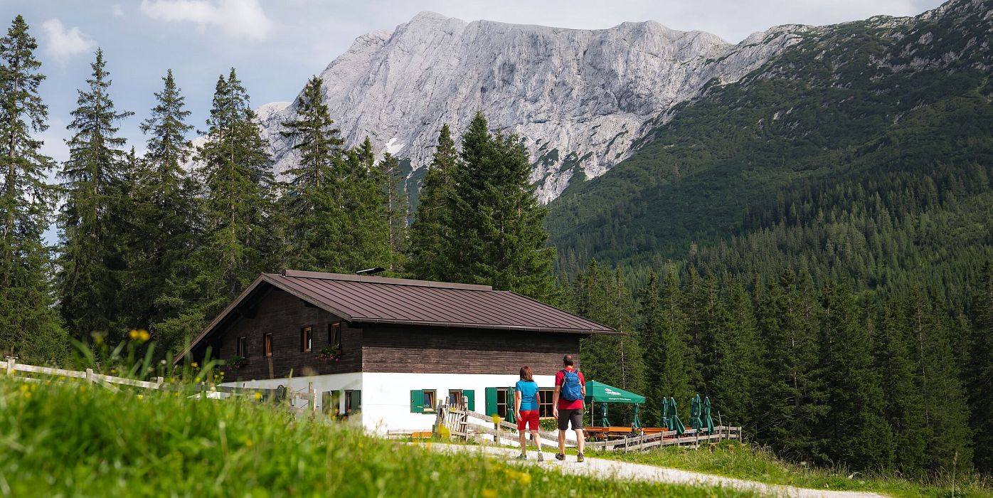
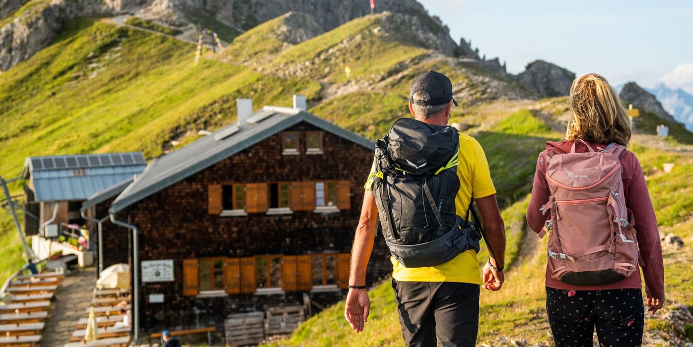
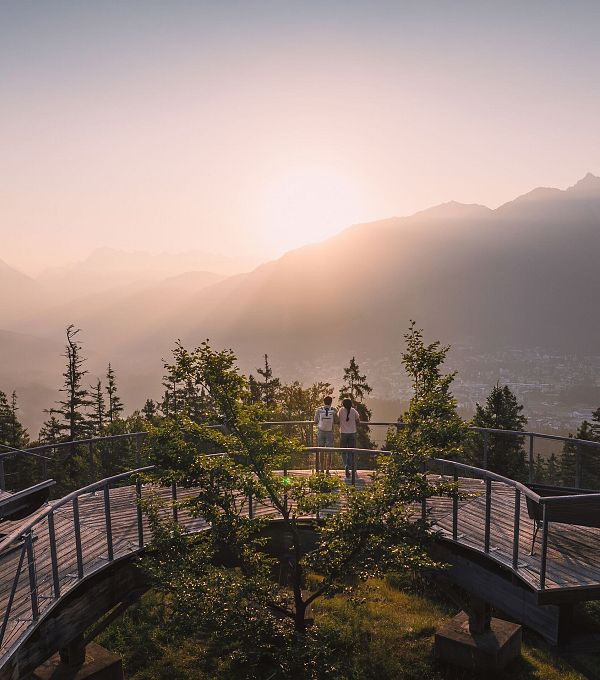
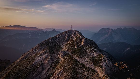
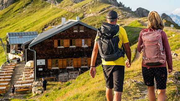
The Tyrol's most diverse high plateau is home to five villages and one billion square metres of alpine landscapes. Every corner attracts visitors with its own special features. Those who enjoy walking will find a true hiker's paradise in Seefeld – if necessary, they can also take the mountain railway for a comfortable ride. The Hohe Munde, the Wetterstein mountains and the Gaistal alpine paradise welcome mountain enthusiasts and connoisseurs alike in Leutasch. Mösern and Reith once inspired Albrecht Dürer with their wide walking paths and picturesque views over the Inn valley and the main Alpine peaks. In Scharnitz, the Karwendel Mountains open their gates to Austria's largest and probably most beautiful nature park for outdoor enthusiasts and alpine climbers – with the highlight being the Karwendel-Höhenweg (Karwendel High Trail).

Guest card = ticket

The guest card is valid during your stay as a ticket for all public bus connections in the region (up to Telfs and Mittenwald). In addition, the train ride between Seefeld and Scharnitz and the Wildmoosbus are also included. You will receive the guest card from your landlord (digital or/and printed).

Good to know for public travel: With the (digital or printed) reservation confirmation of your accommodation, the ride with public transport from the arrival station or the Flixbus stop in the Seefeld region to the nearest public transport stop to your accommodation is also free of charge on the day of arrival!

105 Tours
Circular hike Arnplattenspitze, 2,171 m

Hard

Hiking

Hiking tour

Circular hike

Start Point: Leutasch Ahrn (P6)

End Point: Leutasch Ahrn (P6)

8,6 km

07:00 h

1106 hm

2171 m

View Map

Hike on the Gschwandtkopf mountain

Medium

Hiking

Hiking tour

Hut hikes

Start Point: Seefeld center

End Point: Seefeld center

11,6 km

03:30 h

297 hm

1485 m

View Map

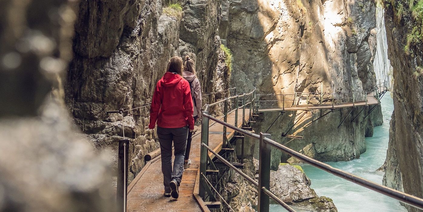
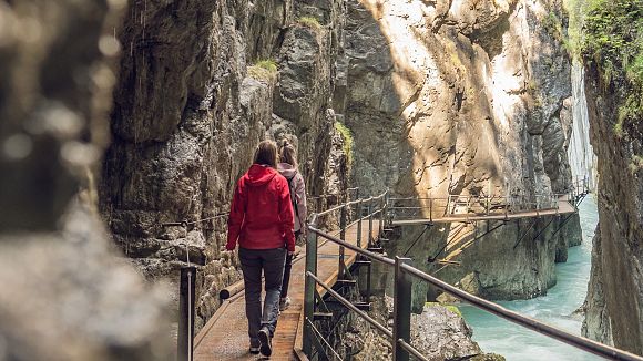
Hike through the Schlossbachklamm

Easy

Hiking

Hiking

Hiking tour

Start Point: Information office Reith

End Point: Bahnhof (train station) Hochzirl

6,1 km

02:00 h

107 hm

299 hm

1065 m

View Map

Viewpoint Brunschkopf via forest road

Medium

Hiking

Hiking tour

Start Point: lake Möserer See

End Point: Brunschkopf

9,0 km

03:00 h

284 hm

1496 m

View Map

Hike through the Gleirschklamm to the Möslalm

Medium

Hiking

Hiking tour

Hut hikes

+1

Start Point: Scharnitz parking Länd

End Point: Scharnitz parking Länd

21,2 km

06:30 h

443 hm

158 hm

1261 m

View Map

Circular hike Wettersteinhütte alpine hut - Wangalm alpine hut - Hämmermoosalm alpine hut

Medium

Hiking

Hiking tour

Hut hikes

+1

Start Point: Leutasch parking Stupfer (P2)

End Point: Leutasch parking Stupfer (P2)

10,2 km

04:15 h

562 hm

1756 m

View Map

Bike & Hike Kristenalm

Medium

Hiking

Hiking tour

Bike & Hike

+1

Start Point: Scharnitz information centre (parking Länd P2)

End Point: Scharnitz information centre (parking Länd P2)

25,0 km

03:30 h

420 hm

1249 m

View Map

Bike & Hike Predigtstuhl Summit, 2,234 m

Hard

Hiking

Hiking tour

Bike & Hike

+1

Start Point: Leutasch parking Salzbach (P5)

End Point: Predigtstuhl

19,0 km

04:30 h

1009 hm

2234 m

View Map

Circular hiking traill Wiesenweg

Easy

Hiking

Hiking tour

Circular hike

Start Point: Infobüro Reith

End Point: Infobüro Reith

4,6 km

01:30 h

109 hm

1128 m

View Map

Circular hike over Zäunlkopf & Oberbrunnalm alpine hut

Medium

Hiking

Hiking tour

Circular hike

Start Point: Parkplatz Länd (P2)

End Point: Parkplatz Länd (P2)

17,8 km

06:45 h

867 hm

1744 m

View Map

Circular hike to the Wildmossalm alpine hut & Lottenseehütte alpine hut

Easy

Hiking

Hiking

Hiking tour

+2

Start Point: Mösern lake

End Point: Mösern

7,1 km

02:30 h

250 hm

1420 m

View Map

Circular walk in the Möserer valley

Easy

Hiking

Hiking

Hiking tour

+2

Start Point: Seefeld

End Point: Seefeld

3,1 km

00:45 h

12 hm

1196 m

View Map