
Scenic sunrise view over a valley with mountains and trees.

Untouched landscape and breathtaking views

Hiking in Wildmoos

Silent beauty and untouched nature shape the Wildmoos landscape protection area in summer. On the sunny high plateau between Mösern, Seefeld, and Leutasch, hikers find shady forests, impressive views, and a rich flora and fauna. A true paradise for nature lovers, athletes, gourmets, and those seeking tranquility alike – with varied hikes that have their charm in every season. The Brunschkopf rises prominently above Wildmoos and offers a breathtaking view over Seefeld and the surrounding mountains from its viewpoint. On the well-marked hiking trails, which have few elevation changes, one encounters untouched nature and rarely sees other hikers.

Muggenmoosalm vor Bergkulisse

Hiking

Circular hike from Seefeld to the Lottenseehütte alpine hut & Muggenmoosalm alpine hut

Length

16,20 km

Duration

05:00 h

Uphill

420 hm

Altitude

1387 hm

Difficulty

Medium

Wettersteingebirge und Leutasch im Sommer

Hiking

Hike Schlagweg-Rauthgatter-Wildmoos

Length

14,40 km

Duration

04:00 h

Uphill

225 hm

Altitude

1346 hm

Difficulty

Easy

Aussichtsplattform Brunschkopf bei Sonnenaufgang

Hiking

Viewpoint Brunschkopf via Möserer Höhe

Length

8,60 km

Duration

03:00 h

Uphill

310 hm

Altitude

1510 hm

Difficulty

Medium

Lottensee mit Lottenseehütte

Hiking

Circular hike to the Wildmossalm alpine hut & Lottenseehütte alpine hut

Length

8,00 km

Duration

03:00 h

Uphill

310 hm

Altitude

1500 hm

Difficulty

Medium

Wildmoosalm with lake

Hiking

Circular hiking trail Wildmoos-Hochmoos

Length

14,00 km

Duration

04:00 h

Uphill

485 hm

Altitude

1545 hm

Difficulty

Medium

Sonnenaufgang am Brunschkopf

Hiking

Circular hike to the Brunschkopf viewing platform starting in Mösern

Length

12,90 km

Duration

04:00 h

Uphill

395 hm

Altitude

1500 hm

Difficulty

Medium

Aussichtsplattform am Brunschkopf

Hiking

Viewpoint Brunschkopf via forest road from Mösern

Length

9,10 km

Duration

03:00 h

Uphill

280 hm

Altitude

1510 hm

Difficulty

Medium

Wandern am Brunschkopf

Hiking

Brunschkopf viewing platform via Wildmoosalm from Leutasch

Length

12,80 km

Duration

04:30 h

Uphill

450 hm

Altitude

1510 hm

Difficulty

Medium

Blick auf das Inntal

Hiking

Jakobsweg Etappe 12: from Buchen to Telfs/Mötz

Length

23,70 km

Duration

06:00 h

Uphill

711 hm

Altitude

1310 hm

Difficulty

Medium

Blick über Wildmoos nach Seefeld

Hiking

Circular tour around the Brunschkopf

Length

13,10 km

Duration

04:00 h

Uphill

275 hm

Altitude

1369 hm

Difficulty

Easy

AUSTRIAN WALKING QUALITY SEAL

Certified Hiking Trail

Aussichtsplattform Brunschkopf bei Sonnenaufgang

Medium

Circular hike

Hiking tour

Hut hike

Start Point: Seefeld Seekirchl

End Point: Seefeld Seekirchl

9,80 km

03:30 h

330 hm

1493 m

A circular viewing platform surrounded by trees on a misty mountain landscape.

VIEW INTO THE DISTANCE

Viewing Platform Brunschkopf
The viewing platform at Brunschkopf can be reached via many beautiful paths. Depending on the starting point, one can stroll (or cycle) from Mösern, Seefeld, or Leutasch to the viewpoint at an altitude of 1,510 meters. With a high-quality Swarovski binoculars, you can then gaze crystal clear over Seefeld, the Wetterstein mountains, the Hohe Munde, and the surrounding mountain peaks from the modern wooden platform.

Tour Tip

Marlene's life discovers the wild moss

Beautiful Circular Hike on Tyrol's High Plateau in the Seefeld Region

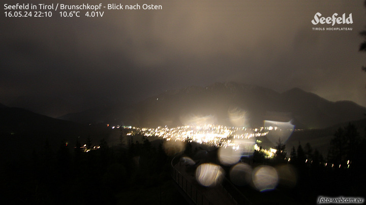
Webcam
Ein Paar wandert auf einem Weg durch eine grüne Berglandschaft.

Hiking in the Region

All Hikes
The expansive hiking area of the Seefeld region offers you a variety of trails through unspoiled nature. With our practical route finder, you can get an overview of all hiking paths and select them based on difficulty, trail length, hiking time, and more.

Tourismusverband Seefeld | Austria +43 5 0880 | region@seefeld.com | www.seefeld.com