Start Point
Ganghoferbogen next to the soccer field
End Point
Ganghoferbogen next to the soccer field
Difficulty
Easy
Total Distance
5,00 km
Descent Meters
20 m
Highest Point
1160 m
Status
Cross-country Skiing
Best Time
Jan
Feb
Mar
Apr
May
Jun
Jul
Aug
Sep
Oct
Nov
Dec
Adaptive nordic skiing
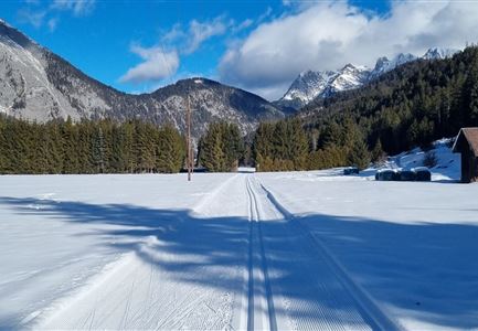
This trail is freshly groomed every day. However, icy and slippery sections may still occur.
Trail Entry Point:
At the Ganghofer Arch in Weidach (opposite of the soccer field)
Trail Character:
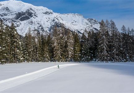
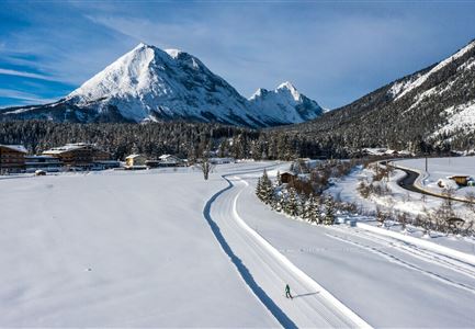
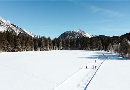
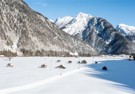
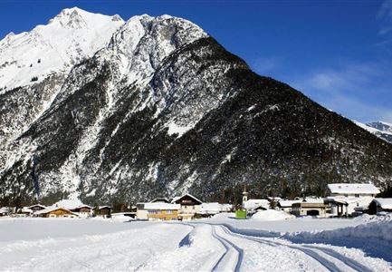
The A6 Trail runs as a two-way route from Kirchplatzl to Aumoosalm, continuing across the fields toward Platzl. At the underpass in Ostbach, you can either return to the starting point or follow the A5 Obern Trail toward Moos. The A6 Alpenbad Trail in Leutasch offers stunning scenery, with views of the Hohe Munde and the Wetterstein Mountains in the direction of travel. On sunny days, this route is bathed in sunlight, making it one of the most beautiful cross-country circuits in Leutasch, especially along the Leutascher Ache.
For refreshments, you can stop at the starting and ending point at either Restaurant Vabene or Dorfstadl. Along the way, the j’auszeit trail kiosk offers various drinks and small treats in the sun.
Connecting Trails:
A5 Obern, A7 Gasse, A10 Weidach, B11 Forest Trail, and B14 Alpenbad Forest Trail.
Features & Characteristics
Stamina
Technique
Start Point
Ganghoferbogen next to the soccer field
End Point
Ganghoferbogen next to the soccer field
Skating
Yes
Klassisch
Yes
Family-friendly
Yes
Barrier-free/adaptive cross-country skiing
Yes
