We use cookies for your personalized browsing experience, to personalize content and ads, to provide social media features, and to analyze traffic to our website. We also share information about your use of our website with our social media, advertising and analytics partners. Our partners may combine this information with other data that you have provided to them or that they have collected as part of your use of the Services. (incl. US providers)

Start Point

Leutasch parking Salzbach (P5)

End Point

Leutasch parking Salzbach (P5)

Difficulty

Easy

Total Distance

9,70 km

Descent Meters

244 m

Ascent Meters

244 m

Highest Point

1404 m

Total Time

03:00 h

Map & Elevation Profile

Start Point

Leutasch parking Salzbach (P5)

End Point

Leutasch parking Salzbach (P5)

Difficulty

Easy

Total Distance

9,70 km

Descent Meters

244 m

Ascent Meters

244 m

Highest Point

1404 m

Total Time

03:00 h

Hiking

Best Time

Jan

Feb

Mar

Apr

May

Jun

Jul

Aug

Sep

Oct

Nov

Dec

Hiking tour

Hut hikes

+2

Route: Salzbach parking lot (P3-5) in the Gaistal - Gaistalalm - Tillfussalm - Gaistalalm - Salzbach parking lot (P3-5) in the Gaistal

Parking facility:

P3-5 "Salzbach parking lot"

Take the 433 bus to Leutasch Gaistal/Salzbach. You can find all connections in real time with the "wegfinder" mobility app.

Directions:

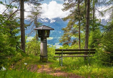
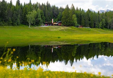
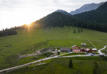
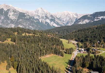
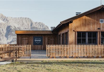
The trail begins at the Salzbach parking lot. After about 200 m and an initially short ascent, a comfortable Ganghofer trail follows, passing below the Hämmermoosalm to the Gaistalalm and further to the Tillfußalm, which is located below the hunting lodge "Hubertus".

Alpine emergency call:

Call: 140

Features & Characteristics

Start Point

Leutasch parking Salzbach (P5)

End Point

Leutasch parking Salzbach (P5)

Family hike

Yes

Hike suitable for prams

Yes

Similar Tour Suggestions

Wettersteinhütte im Gaistal in Leutasch

Hiking

High Pasture alpine hut hike above the Gaistal Valley

Length

24,20 km

Duration

09:45 h

Uphill

1261 hm

Altitude

2132 hm

Difficulty

Medium

Aussicht von der Friedensglocke Richtung Inntal (beim Sonnenuntergang).jpg

Hiking

Viewpoint Brunschkopf via Möserer Höhe

Length

8,00 km

Duration

03:00 h

Uphill

284 hm

Altitude

1498 hm

Difficulty

Medium

Pfarrkirche im Sommer - Moesern

Hiking

Hike to the Inn Ropferstub'm

Length

9,20 km

Duration

03:00 h

Uphill

246 hm

Altitude

1316 hm

Difficulty

Easy

Seefeld Reith 2022 Sommer Wanderung Noerdlinger Huette Reither Spitze Seefelder Spitze Seefelder Joch Panorama Hochplateau

Hiking

Circular hike to the Nördlinger Hütte alpine hut & Reither Spitze Summit, 2,374m

Length

9,10 km

Duration

07:30 h

Uphill

1161 hm

Altitude

2374 hm

Difficulty

Hard

Grosse Arnspitze Blick ins Karwendel - Scharnitz

Hiking

Hike to the Große Arnspitze Summit, 2,196 m

Length

9,00 km

Duration

07:30 h

Uphill

1214 hm

Altitude

2196 hm

Difficulty

Hard

Scharnitzer Alm im Sommer - Scharnitz

Hiking

Circular hiking trail to the Gleirschhöhe

Length

8,60 km

Duration

02:45 h

Uphill

212 hm

Altitude

1074 hm

Difficulty

Medium

Porta Claudia Ruine - Scharnitz

Hiking

Circular hiking trail Porta Claudia

Length

2,50 km

Duration

01:00 h

Uphill

125 hm

Downhill

120 hm

Altitude

1085 hm

Difficulty

Easy

Weg Richtung Wildmoosalm (c) Anna Rieder

Hiking

Hike to the Wildmoosalm alpine hut

Length

5,80 km

Duration

01:45 h

Uphill

131 hm

Altitude

1305 hm

Difficulty

Easy