10, 20, 30 or 42km

Unicorn March Routes

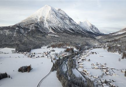
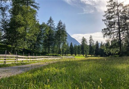
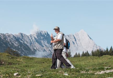
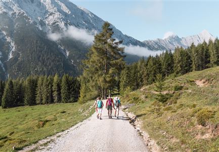
Over hill and dale, along idyllic streams and flowering plants and forests – the routes of the 3 Day Unicorn March impress in a very special way. The main focus is the 16 km long Leutasch valley, known for its extensive cross-country ski trails in winter, which also impresses with special hikes in summer. Both flat hikes and challenging tours are mastered and conquered here for three days. The exact route plans including altitude profiles for all three days of the Unicorn March can be found here.
Routes on day 1

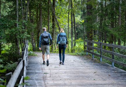
Teilnehmer_innen des Einhornmarsches von hinten auf einer Brücke in Reindlau, Leutasch (1).jpg

Running

IML Unicorn March Day 1: 10km - Runst-Hike

Length

10,20 km

Duration

02:45 h

Uphill

80 hm

Altitude

1148 hm

Difficulty

Easy

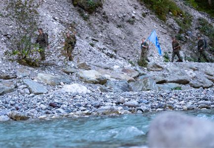
Einhornmarsch-Teilnehmer laufen an der Leutascher Ache entlang (1).jpg

Running

IML Unicorn March Day 1: Achen Walk

Length

20,00 km

Duration

05:15 h

Uphill

315 hm

Altitude

1172 hm

Difficulty

Medium

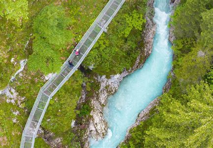
Drohnenaufnahme Geisterklamm - zwei Personen laufen auf Steg reingezoomt.jpg

Running

IML Unicorn March Day 1: 30 km - Spirit Gorge Hike

Length

30,00 km

Duration

08:45 h

Uphill

841 hm

Downhill

821 hm

Altitude

1499 hm

Difficulty

Medium

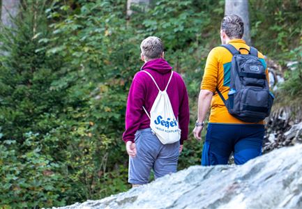
Einhornmarsch-Teilnehmer mit Seefeld-Beutel laufen an der Leutascher Ache entlang.jpg

Running

IML Unicorn March Day 1: 42km - Hike around the Arnspitze Mountain

Length

42,00 km

Duration

11:00 h

Uphill

820 hm

Altitude

1382 hm

Difficulty

Hard

Routes on day 2 & adventure hike

Brunschkopf_inkl_Logo.jpg

Hiking

Brunschkopf viewing platform via Geiernest from Seefeld, return via Wildmoosalm

Length

9,20 km

Duration

03:15 h

Uphill

316 hm

Downhill

313 hm

Altitude

1493 hm

Difficulty

Medium

Drohnenaufnahme Gaistal im Sommer - Sonnenaufgang Predigtstuhl - Blick Richtung Gehrenspitze.jpg

Running

Wetterstein Trail Run Loop

Length

25,00 km

Duration

10:30 h

Uphill

1490 hm

Altitude

2230 hm

Difficulty

Hard

Scharnitz - Wanderung zur Adlerkanzel - Blick auf die Isar.jpg

Hiking

Circular village walk Scharnitz - Gießenbach

Length

6,10 km

Duration

01:30 h

Uphill

42 hm

Altitude

1013 hm

Difficulty

Easy

Wildmoosalm im Sommer - Hütte mit Kuh.jpg

Cycling

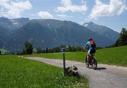
Gravelbiketour Wildmoos

Length

20,00 km

Duration

03:15 h

Uphill

450 hm

Altitude

1510 hm

Difficulty

Medium

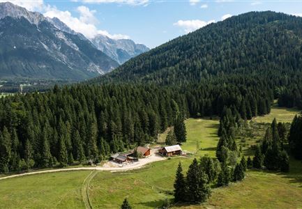
Eppzirler Alm - Drohnenaufnahme Alm und Talschluss

Cycling

Biketour Nr. 5033 Eppzirler Alm

Length

13,30 km

Duration

01:30 h

Uphill

447 hm

Altitude

1457 hm

Difficulty

Hard

Wintertrailrunning in der Region Seefeld (abseits der Wege) - Läufer läuft alleine in den Wald in traumhafter Winterlandschaft.jpg

Running

Winterexpedition - brunschkopf viewing platform

Length

11,10 km

Uphill

330 hm

Altitude

1499 hm

Difficulty

Hard

Routes on day 3

Oberer Wiesenweg in Leutasch.jpg

Running

IML Unicorn March Day 3: 10 km - Wiesenweg Hike

Length

10,00 km

Duration

03:00 h

Uphill

137 hm

Downhill

134 hm

Altitude

1198 hm

Difficulty

Easy

IML Teilnehmer beim Wandern vor Berg - Leutasch (7).jpg

Running

IML Unicorn March Day 3: 20 km - Bichlwald Hike

Length

20,00 km

Duration

06:15 h

Uphill

534 hm

Downhill

510 hm

Altitude

1417 hm

Difficulty

Medium

IML Teilnehmer bei Wald - Leutasch (1).jpg

Running

IML Unicorn March Day 3: 30 km - Gaistal Walk

Length

30,00 km

Duration

08:30 h

Uphill

778 hm

Downhill

765 hm

Altitude

1417 hm

Difficulty

Medium

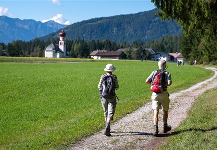
Teilnehmer vom Einhornmarsch auf einem Forstweg auf dem Weg nach Kirchplatzl mit Blick Richtung Kirche.jpg

Running

IML Unicorn March Day 3: 42 km - Gaistal Valley Hike

Length

42,00 km

Duration

10:00 h

Uphill

1102 hm

Downhill

1068 hm

Altitude

1417 hm

Difficulty

Hard

Tourismusverband Seefeld | Austria +43 5 0880 | region@seefeld.com | www.seefeld.com