We use cookies for your personalized browsing experience, to personalize content and ads, to provide social media features, and to analyze traffic to our website. We also share information about your use of our website with our social media, advertising and analytics partners. Our partners may combine this information with other data that you have provided to them or that they have collected as part of your use of the Services. (incl. US providers)

Start Point

Informationszentrum Seefeld

End Point

Wildmoos
Difficulty

Medium

Total Distance

2,90 km

Descent Meters

91 m

Highest Point

1301 m

Map & Elevation Profile

Start Point

Informationszentrum Seefeld

End Point

Wildmoos
Difficulty

Medium

Total Distance

2,90 km

Descent Meters

91 m

Highest Point

1301 m

Cycling

Best Time

Jan

Feb

Mar

Apr

May

Jun

Jul

Aug

Sep

Oct

Nov

Dec

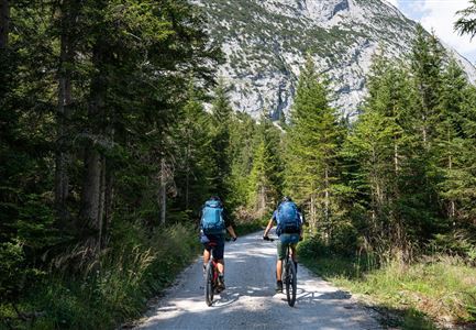
Cycling and mountain biking

Mountainbike tour

Route: Information office Seefeld – Andreas-Hofer-Straße - Olympiastraße – Leutascher Straße – municipal road to Wildmoos – Wildmoosalm

Route description:

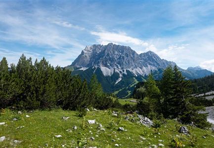
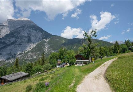
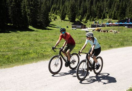
Short bike tour from Seefeld to the picturesque Wildmoos plateau

This beautifully rewarding bike tour takes the direct bike connection from Seefeld to the Wildmoosalm and with just under three kilometers and 120 meters in altitude is well suited as a connecting piece to larger tours or as a small evening round with a delicious reward and a leisurely descent.


From the starting point at the information office at the Seefeld train station, first cross the north parking lot to the right and then follow Andreas-Hofer-Straße to the left until you reach Olympiastraße. Continue straight ahead to the next intersection and turn right onto the Leutascher Bundesstraße. In the first big bend, the municipal road to Wildmoos branches off well signposted. Now pedal up the full length ahead, because cool refreshments and delicious delicacies are already waiting on the cozy sun terrace of the Wildmoosalm.

Attention pasture cattle, please keep distance and cross the pasture area calmly and quickly.

Alpine emergency call:


Call: 140

Features & Characteristics

Start Point

Informationszentrum Seefeld

End Point

Wildmoos
Similar Tour Suggestions

Reith-Wiesenwegrunde (c) Anna Rieder

Cycling

Biketour No. 5031 Reith-Wiesenweg

Length

4,50 km

Uphill

123 hm

Altitude

1123 hm

Difficulty

Medium

Luftaufnahme von Familie beim Radfahren - Leutasch

Cycling

Biketour family adventure trail

Length

8,70 km

Uphill

3 hm

Downhill

76 hm

Altitude

1205 hm

Difficulty

Easy

Bikepark Katzenkopf - Roter Trail

Cycling

Bikepark Katzenkopf - Dirty Dancer Trail

Length

2,10 km

Downhill

229 hm

Altitude

1360 hm

Difficulty

Medium

Gaistal-Hochfeldernalm (c) Anna Rieder

Cycling

Biketour No. 552 Gaistal-Hochfeldern Alm

Length

11,20 km

Uphill

560 hm

Downhill

30 hm

Altitude

1732 hm

Difficulty

Hard

Isarursprung im Karwendel - Scharnitz

Hiking

Bike & Hike Halleranger house - Halleranger alm

Length

38,00 km

Duration

06:00 h

Uphill

832 hm

Altitude

1768 hm

Difficulty

Medium

Symbolbild Biken

Cycling

Biketour No. 5049 Reith-Kaiserstandrunde

Length

6,20 km

Uphill

248 hm

Altitude

1327 hm

Difficulty

Hard

Radfahrerinnen fahren direkt an der Gaistalalm vorbei - 01.jpg

Cycling

Gravelbiketour Gaistal

Uphill

353 hm

Downhill

194 hm

Altitude

1363 hm

Difficulty

Medium

Gravelbike Bikedetail - Leutasch

Cycling

Gravelbiketour Wildmoos

Length

20,00 km

Uphill

450 hm

Altitude

1510 hm

Difficulty

Medium