We use cookies for your personalized browsing experience, to personalize content and ads, to provide social media features, and to analyze traffic to our website. We also share information about your use of our website with our social media, advertising and analytics partners. Our partners may combine this information with other data that you have provided to them or that they have collected as part of your use of the Services. (incl. US providers)

Start Point

Leutasch Parkplatz Salzbach (P5)

End Point

Buchen, Ropferstub'm

Difficulty

Medium

Total Distance

8,30 km

Descent Meters

230 m

Highest Point

1307 m

Map & Elevation Profile

Start Point

Leutasch Parkplatz Salzbach (P5)

End Point

Buchen, Ropferstub'm

Difficulty

Medium

Total Distance

8,30 km

Descent Meters

230 m

Highest Point

1307 m

Cycling

Best Time

Jan

Feb

Mar

Apr

May

Jun

Jul

Aug

Sep

Oct

Nov

Dec

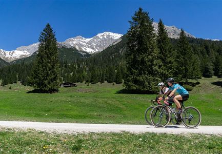
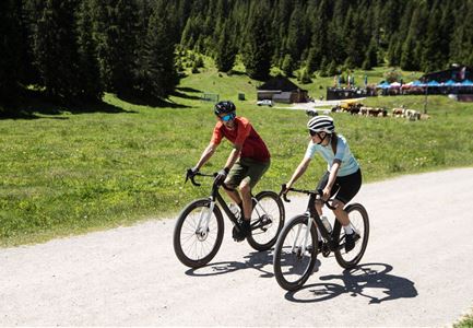
Mountainbike tour

Route 5067: Parkplatz Salzbach – Leutascher Ache – Bichlwald – Obern – Moos – Katzenloch – Buchen – Ropferstub’m

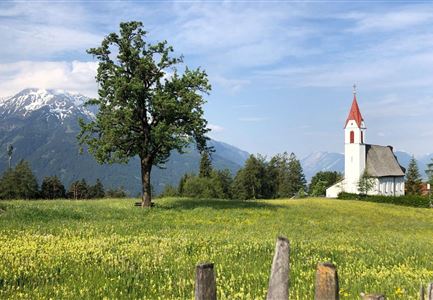
Wonderful bike connection with a picturesque Inntal view from the Ropferstub'm in Buchen

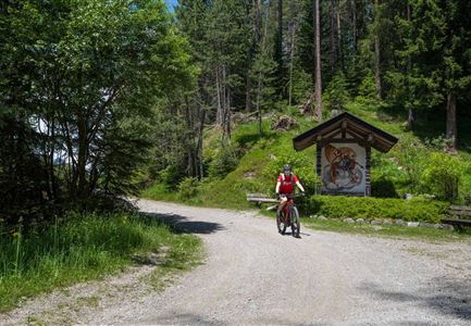
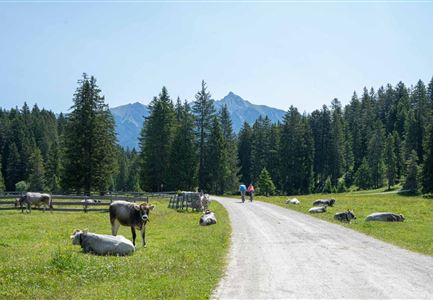
From the starting point at the last (paid) parking lot at the Salzbach in Gaistal, take the first ascent towards alpine paradise Gaistal, but then keep left, cross the turquoise blue Leutascher Ache and start the first sporty kilometer of gravel road uphill. After the ascent, take the first left and roll more leisurely through the shadowy freshness of the Bichlwald (keep left). In Obern turn right onto the asphalted road and continue to Moos. Immediately before Zottelhof, the bike tour turns right again into the forest and now takes a somewhat more challenging gravel road uphill through the picturesque Katzenloch. In Buchen you’ll meet the asphalted road again, cross it and roll the last 300 meters comfortably on the municipal road until you reach the cozy Ropferstub'm. With delicious specialties and freshly tapped refreshments, the sunsets here reward you with a particularly picturesque blaze of colors.

Features & Characteristics

Start Point

Leutasch Parkplatz Salzbach (P5)

End Point

Buchen, Ropferstub'm

Similar Tour Suggestions

Symbolbild Biken

Cycling

Biketour No. 5049 Reith-Kaiserstandrunde

Length

6,20 km

Uphill

248 hm

Altitude

1327 hm

Difficulty

Hard

Gravelbiken am Oberen Achweg - Fahrt entlang des Flusses.jpg

Cycling

Biketour Arnspitzrunde

Length

33,10 km

Uphill

377 hm

Altitude

1220 hm

Difficulty

Medium

Gravelbiken in der Region Seefeld (5).jpg

Cycling

Radwanderroute: Scharnitz - Seefeld - Reith

Length

18,50 km

Uphill

320 hm

Downhill

140 hm

Altitude

1200 hm

Difficulty

Easy

Scharnitz - Wanderung Dorfrunde - Biker am Weg von Scharnitz nach Gießenbach (2).jpg

Cycling

Radwanderroute: Reith - Seefeld - Scharnitz

Length

18,50 km

Uphill

140 hm

Downhill

320 hm

Altitude

1200 hm

Difficulty

Easy

Gaistal

Cycling

Biketour Tillfussalm alpine hut

Length

9,60 km

Uphill

174 hm

Altitude

1358 hm

Difficulty

Easy

Bike-Tour-durchs-Karwendeltal-aufs-Karwendelhaus

Cycling

Bike Trail Tirol Etappe 07: Scharnitz-Achensee

Length

61,50 km

Uphill

1850 hm

Downhill

1880 hm

Altitude

1800 hm

Difficulty

Hard

Gaistal-Hochfeldernalm (c) Anna Rieder

Cycling

Biketour No. 552 Gaistal-Hochfeldern Alm

Length

11,20 km

Uphill

560 hm

Downhill

30 hm

Altitude

1732 hm

Difficulty

Hard

Gravelbiker auf der Aussichtsplattform Brunschkopf im Sommer - Seefeld

Cycling

Biketour No. 5068 Mösern-Brunschkopf

Length

4,50 km

Uphill

268 hm

Downhill

4 hm

Altitude

1510 hm

Difficulty

Medium