Start Point

Mösern Information Office

End Point

Mösern Information Office

Difficulty

Medium

Total Distance

11,50 km

Descent Meters

300 m

Ascent Meters

300 m

Highest Point

1387 m

Total Time

01:30 h

Map & Elevation Profile

Start Point

Mösern Information Office

End Point

Mösern Information Office

Difficulty

Medium

Total Distance

11,50 km

Descent Meters

300 m

Ascent Meters

300 m

Highest Point

1387 m

Total Time

01:30 h

Cycling

Best Time

Jan

Feb

Mar

Apr

May

Jun

Jul

Aug

Sep

Oct

Nov

Dec

Mountainbike tour

Loop tour

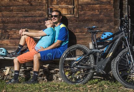
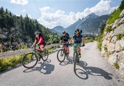
"Short but nice" and above all family-friendly: The Brunschkopf tour!

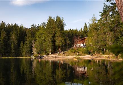
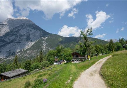
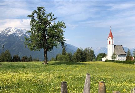
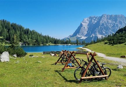
This moderately difficult route (No. 544 Mösern-Wildmoos) offers a lot of scenic variety: meadows, forests, mountains, breathtaking views of the Inn and Gaistal valleys, and opportunities for refreshments. With some luck, you may even see three lakes (two of which are aperiodic and not always visible).

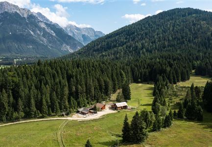
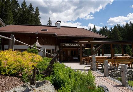
The loop starts directly at the Mösern Information Office and initially follows paved municipal roads to the Möserer See. The path is a bit steeper until you reach the lake, but after that, only short, moderately steep sections remain on a wide and well-maintained gravel road. The section between the picturesque Lottenseehütte and the rustic Wildmoosalm is partially paved, but otherwise, a wide forest path is available. From the Wildmoosalm, the route leads along the south side of the Brunschkopf through dense forest in the Wildmoos area back to the Möserer See and the starting point in the center of Mösern.

The entire loop is considered one of the safest in the region in terms of path conditions. As this is a very popular hiking and

Features & Characteristics

Start Point

Mösern Information Office

End Point

Mösern Information Office

Loop tour

Yes

Family-friendly

Yes
Videos

Similar Tour Suggestions

Gravelbiker in Scharnitz im Sommer

Cycling

Bike-connection No. 5051 Seefeld-Scharnitz

Length

25,30 km

Duration

01:45 h

Uphill

256 hm

Downhill

250 hm

Altitude

1195 hm

Difficulty

Medium

Radfahrerin beim Sonnenaufgang im Gaistal - 02.jpg

Cycling

Gravelbiketour Gaistal

Length

18,10 km

Duration

01:45 h

Uphill

353 hm

Downhill

194 hm

Altitude

1363 hm

Difficulty

Medium

Gravelbiker bei der Wildmoosalm im Sommer (4).jpg

Cycling

Biketour No. 547 Wildmoos-Buchen

Length

8,80 km

Duration

00:25 h

Uphill

184 hm

Downhill

183 hm

Altitude

1346 hm

Difficulty

Medium

e-biken_im_gaistal_im_sommer_drohnenaufnahme_zwei_biker_innen_vor_haemmermoosalm.jpg

Cycling

Biketour No. 5047 Gaistal-Hämmermoosalm

Length

3,90 km

Duration

00:30 h

Uphill

171 hm

Altitude

1417 hm

Difficulty

Medium

Bike Tour durchs Karwendeltal aufs Karwendelhaus - Scharnitz (11).jpg

Cycling

Biketour No. 579 Gleirschtal-Möslalm

Length

22,60 km

Duration

02:30 h

Uphill

392 hm

Altitude

1272 hm

Difficulty

Medium

Seebensee mit Raeder im Vordergrund

Cycling

Biketour No. 551 Seebensee

Length

27,60 km

Duration

01:40 h

Uphill

561 hm

Downhill

557 hm

Altitude

1581 hm

Difficulty

Medium

Wildmoos Buchen Ropferstubm

Cycling

Biketour No. 5067 Salzbach-Ropferstub'm

Length

16,40 km

Duration

02:00 h

Uphill

472 hm

Altitude

1312 hm

Difficulty

Medium

Reitherjoch-Alm (c) Anna Rieder

Cycling

Biketour No. 5032 Reitherjoch Alm

Length

12,60 km

Duration

02:00 h

Uphill

372 hm

Downhill

368 hm

Altitude

1495 hm

Difficulty

Medium