We use cookies for your personalized browsing experience, to personalize content and ads, to provide social media features, and to analyze traffic to our website. We also share information about your use of our website with our social media, advertising and analytics partners. Our partners may combine this information with other data that you have provided to them or that they have collected as part of your use of the Services. (incl. US providers)

Start Point

Scharnitz information centre (parking Länd P2)

End Point

Scharnitz information centre (parking Länd P2)

Difficulty

Medium

Total Distance

37,00 km

Descent Meters

850 m

Ascent Meters

850 m

Highest Point

1771 m

Map & Elevation Profile

Start Point

Scharnitz information centre (parking Länd P2)

End Point

Scharnitz information centre (parking Länd P2)

Difficulty

Medium

Total Distance

37,00 km

Descent Meters

850 m

Ascent Meters

850 m

Highest Point

1771 m

Cycling

Best Time

Jan

Feb

Mar

Apr

May

Jun

Jul

Aug

Sep

Oct

Nov

Dec

Mountainbike tour

Route: Information centre Scharnitz/parking Länd - Isar bridge - Karwendeltal/Karwendelhaus - Brandlegg - Angeralm - Hochalm - Karwendelhaus 

Route description:

The classic among the tours

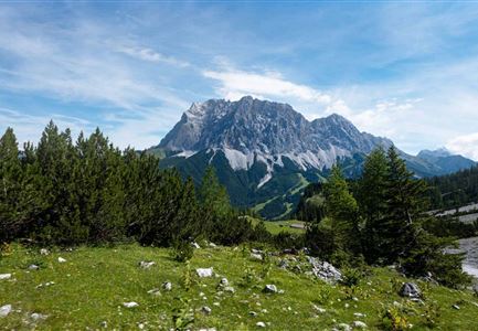
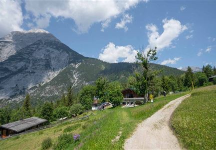
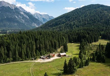
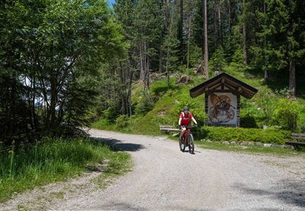
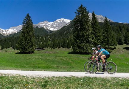
At the information centre Scharnitz / parking Länd (P2) pass the Museum Holzerhütte. After approx. 1 km after the Isar bridge, turn left towards Karwendeltal/Karwendelhaus. A short, steep ascent follows to Brandlegg with a view of the neighbouring valleys. Here you cycle further along the stream Karwendelbach to the Angeralm (not managed). After a few serpentines a steep ascent follows to the Hochalm (not managed) and after a few hairpin bends you reach the turnoff to the nearby Hochalmsattel, the view into the Karwendel (1803 m). The magnificent panoramic view will certainly remain in your memory for a long time. Then continue to the Karwendelhaus (1771 m), a contemporary yet traditional mountain hut. The more than 100 year old restaurant or the sunny terrace with a fantastic view of the Karwendel valley and the western Karwendel peak, as well as traditional dishes invite you to take a well-deserved break.

Alternative (see also description Bike Trail Tirol Etappe 07: Scharnitz-Achensee): For experienced bikers with good physical condition this tour can be

Read More...

Features & Characteristics

Start Point

Scharnitz information centre (parking Länd P2)

End Point

Scharnitz information centre (parking Länd P2)

Similar Tour Suggestions

Luftaufnahme von Familie beim Radfahren - Leutasch

Cycling

Biketour family adventure trail

Length

8,70 km

Uphill

3 hm

Downhill

76 hm

Altitude

1205 hm

Difficulty

Easy

Gaistal

Cycling

Biketour Tillfussalm alpine hut

Length

9,60 km

Uphill

174 hm

Altitude

1358 hm

Difficulty

Easy

Gravelbiker auf der Aussichtsplattform Brunschkopf im Sommer - Seefeld

Cycling

Biketour No. 5068 Mösern-Brunschkopf

Length

4,50 km

Uphill

268 hm

Downhill

4 hm

Altitude

1510 hm

Difficulty

Medium

Gravelbiken am Oberen Achweg - Fahrt entlang des Flusses.jpg

Cycling

Biketour Arnspitzrunde

Length

33,10 km

Uphill

377 hm

Altitude

1220 hm

Difficulty

Medium

Radtour

Cycling

Biketour Seefeld - Mösern - Wildmoos - Katzenkopf - Fludertal - Seefeld

Length

27,20 km

Uphill

657 hm

Downhill

651 hm

Altitude

1368 hm

Difficulty

Medium

Reith

Cycling

Biketour No. 588 Reith-Eigenhofen

Length

5,70 km

Uphill

6 hm

Downhill

528 hm

Altitude

1123 hm

Difficulty

Hard

Reith-Wiesenwegrunde (c) Anna Rieder

Cycling

Biketour No. 5031 Reith-Wiesenweg

Length

4,50 km

Uphill

123 hm

Altitude

1123 hm

Difficulty

Medium

Wildmoos-Buchen (c) Anna Rieder

Cycling

Biketour No. 547 Wildmoos-Buchen

Length

4,80 km

Uphill

90 hm

Downhill

106 hm

Altitude

1343 hm

Difficulty

Medium