Start Point

Seefeld Valley Station Bergbahnen Rosshütte

End Point

Seefeld Valley Station Bergbahnen Rosshütte

Difficulty

Hard

Total Distance

4,40 km

Descent Meters

502 m

Ascent Meters

464 m

Highest Point

2364 m

Total Time

03:00 h

Map & Elevation Profile

Start Point

Seefeld Valley Station Bergbahnen Rosshütte

End Point

Seefeld Valley Station Bergbahnen Rosshütte

Difficulty

Hard

Total Distance

4,40 km

Descent Meters

502 m

Ascent Meters

464 m

Highest Point

2364 m

Total Time

03:00 h

Hiking

Best Time

Jan

Feb

Mar

Apr

May

Jun

Jul

Aug

Sep

Oct

Nov

Dec

Hiking

Hiking tour

+4

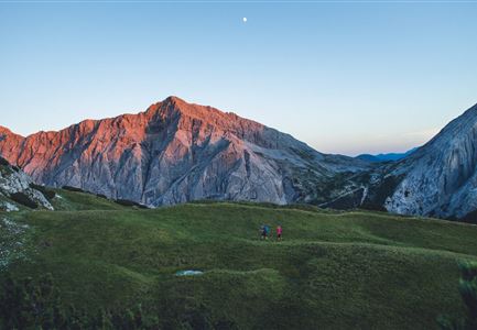
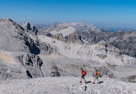
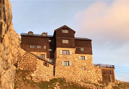
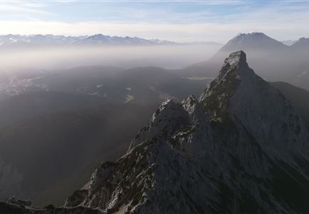
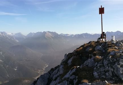
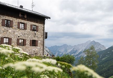
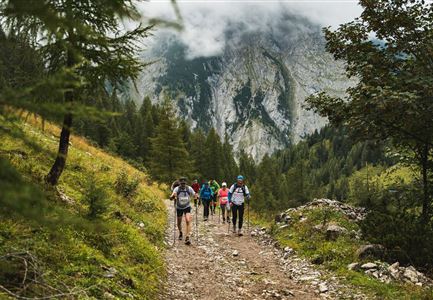
This challenging hike begins with a ride on the funicular of the Bergbahnen Rosshütte to Seefelder Joch at 2,064 meters. The actual hike covers nearly five kilometers and 500 meters of elevation gain. Along the way, you will summit the Seefelder Spitze (2,220 m) and Reither Spitze (2,373 m). After about three hours of hiking, you will reach the Nördlinger Hütte at 2,230 meters. The descent takes about an hour to reach the Härmelekopfbahn mountain station, where you can conveniently take the cable car back to the valley.

For those seeking more adventure, you can opt for the Panorama via ferrata from the middle station to the Seefelder Spitze on the way up. On the way down, instead of taking the cable car, you can choose the two-hour hiking trail from Härmelekopf back down, with a possible stop at Reitherjoch-Alm (1,500 m).

Features & Characteristics

Videos

01

Similar Tour Suggestions

Wanderung durchs Katzenloch im Frühherbst - Wanderer mit Hunde auf dem Weg bei einer Lichtung.jpg

Hiking

Hike through the Katzenloch

Length

7,10 km

Duration

02:00 h

Uphill

155 hm

Downhill

154 hm

Altitude

1280 hm

Difficulty

Easy

Drohnenaufnahme Gschwandtkopf Speichersee - Person läuft entlang des Speichersees mit Hohe Munde im Hintergrund (3).jpg

Hiking

Hike on the Gschwandtkopf mountain

Length

11,60 km

Duration

03:30 h

Uphill

297 hm

Altitude

1485 hm

Difficulty

Medium

Partially open
Lärchenwald in Reith - Drohnenaufnahme - Paar läuft zur den Wald - Aufnahme Richtung Sonne.jpg

Hiking

Circular Walk around the Gschwandtkopf Hill

Length

10,60 km

Duration

03:30 h

Uphill

226 hm

Downhill

220 hm

Altitude

1344 hm

Difficulty

Medium

Partially open
Nördlinger Hütte - Wanderer kurz vor der Hütte (2).jpg

Hiking

Circular hike to the Nördlinger Hütte alpine hut & Reither Spitze Summit, 2,374m

Length

9,90 km

Duration

07:30 h

Uphill

1191 hm

Altitude

2374 hm

Difficulty

Hard

Hofladenrunde Leutasch - Frau vor Wirtseppeler Hof.jpg

Hiking

Leutasch Farm Shop Circular Hike

Length

11,50 km

Duration

03:10 h

Uphill

111 hm

Downhill

108 hm

Altitude

1194 hm

Difficulty

Easy

Wanderweg Hochleithenkopf - Ausblick ins Inntal.jpg

Hiking

Hike to the Hochleithenkopf

Length

8,20 km

Duration

02:30 h

Uphill

200 hm

Altitude

1187 hm

Difficulty

Medium

Partially open
Porta Claudia Scharnitz - Tor mit kleinen Tannen.jpg

Hiking

Via Romea - pilgrimage trail through Europe

Length

21,50 km

Duration

06:30 h

Uphill

317 hm

Downhill

637 hm

Altitude

1198 hm

Difficulty

Easy

Durch die Gleirschklamm bei Scharnitz.jpg

Hiking

Circular hiking trail Gleirschklamm Gorge

Length

13,10 km

Duration

04:00 h

Uphill

416 hm

Downhill

410 hm

Altitude

1152 hm

Difficulty

Medium