Start Point

Scharnitz Railway station

End Point

Seefeld Railway Station

Difficulty

Easy

Total Distance

12,00 km

Descent Meters

270 m

Ascent Meters

50 m

Highest Point

1180 m

Total Time

03:30 h

Status

Open

Map & Elevation Profile

Start Point

Scharnitz Railway station

End Point

Seefeld Railway Station

Difficulty

Easy

Total Distance

12,00 km

Descent Meters

270 m

Ascent Meters

50 m

Highest Point

1180 m

Total Time

03:30 h

Status

Open

Hiking

Best Time

Open

Jan

Feb

Mar

Apr

May

Jun

Jul

Aug

Sep

Oct

Nov

Dec

Winter walking

Multiday hike

This is a cleared winter hiking trail. However, icy or slippery sections may still occur.

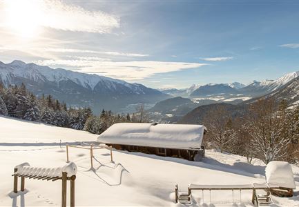
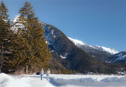
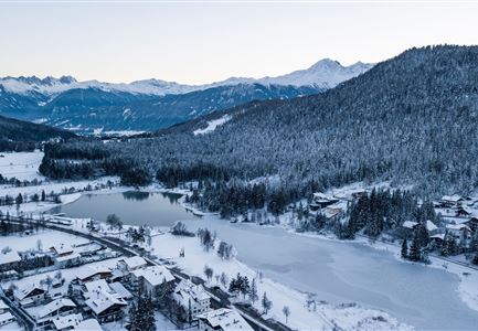
Stage 2 of the Seefeld High Plateau Winter Multi-day Hike connects the idyllic village of Scharnitz – also known as the “Gateway to the Karwendel” – with the vibrant center of Seefeld. The route leads through varied winter landscapes, quiet settlements, snow-covered forests, and also offers cozy refreshment stops along the way.

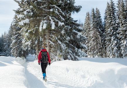
The stage starts at Scharnitz train station, which can be reached from Seefeld by train (included with the PlateauCard). From there, the route first follows Innsbrucker Straße to the church. Directly opposite, the trail turns right onto Hirlanda-Ellmann-Weg, which leads through a quiet residential area to Sportplatzweg. Continue along the edge of the village, where the trail merges into hiking path no. 19. This path takes you through snow-covered forests and crisp winter air to Gießenbach.

Once in Gießenbach, Gasthof Ramona invites you to take your first break – perfect for a warming pause. Cross the main road directly opposite, walk past the parking area, and then cross the railway tracks. After the tracks, turn right onto Hirnweg (trail no. 6)

Similar Tour Suggestions

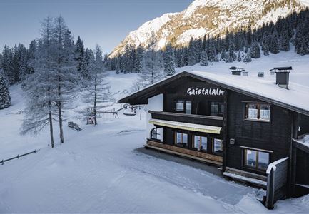
Gaistalalm im Winter - Drohnennahaufnahme von der Seite mit Wettersteingebirge (2).jpg

Hiking

W12: Winter hike to the Gaistalalm

Length

8,20 km

Duration

02:30 h

Uphill

182 hm

Altitude

1366 hm

Difficulty

Easy

Open
Ropferstubm in Buchen bei Mösern - Ausblick

Hiking

W26: Winter Hike from Mösern to the Ropferstub'm

Length

12,20 km

Duration

04:00 h

Uphill

330 hm

Altitude

1314 hm

Difficulty

Easy

Open
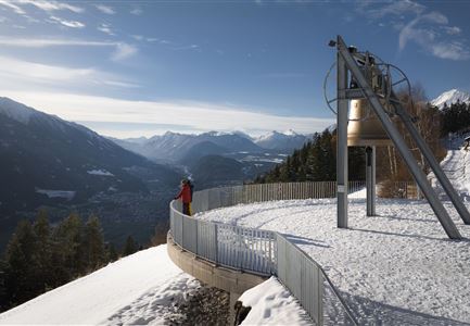
Winterwandern Paar Friedensglocke Drohnen Nahaufnahme Paar steht am Geländer Blick ins Inntal (1).jpg

Hiking

W30: Winter hiking "Path of Peace"

Length

4,60 km

Duration

01:30 h

Uphill

92 hm

Downhill

96 hm

Altitude

1292 hm

Difficulty

Easy

Open
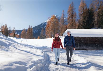
Oberer Wiesenweg im Frühwinter_Paar läuft auf Wanderweg_Blick auf Stadl und Hohe Munde.jpg

Hiking

W17: Winter circular hike on the Wiesenweg

Length

6,20 km

Duration

01:45 h

Uphill

61 hm

Altitude

1193 hm

Difficulty

Easy

Open
Winterwandern im Möserer Tal

Hiking

W8: Winter Hike to the Seewaldalm

Length

6,23 km

Duration

02:00 h

Uphill

51 hm

Altitude

1236 hm

Difficulty

Easy

Open
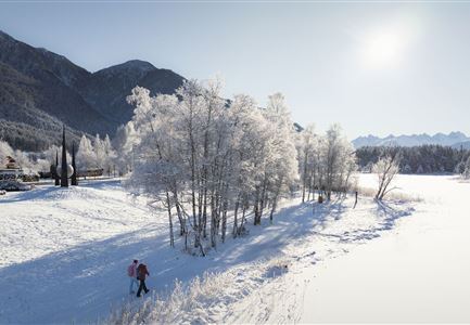
Zwei Frauen am Winterwandern in Scharnitz.jpg

Hiking

W6: Winter Hike from Seefeld to Scharnitz

Length

8,30 km

Duration

05:00 h

Downhill

211 hm

Altitude

1178 hm

Difficulty

Easy

Open
Eisfischen am Weidachsee - Leutasch-31.jpg

Hiking

W9: Winter circular hike around Weidachsee lake

Length

3,80 km

Duration

01:00 h

Uphill

46 hm

Altitude

1156 hm

Difficulty

Easy

Open
Winterwandern Paar Möserer See Drohnenaufnahme Paar steht am Steg mit Möserer Seestube und Reither Spitze im Hintergrund (1).jpg

Hiking

Stage 5: From Seefeld to Mösern and back to Seefeld via Wildmoos - Seefeld High Plateau Winter Multi-day Hike

Length

14,49 km

Duration

04:15 h

Uphill

247 hm

Downhill

246 hm

Altitude

1345 hm

Difficulty

Easy

Open