Start Point
Seefeld Seekirchl
End Point
Seefeld Seekirchl
Difficulty
Easy
Total Distance
3,00 km
Descent Meters
19 m
Highest Point
1189 m
Status
Cross-country Skiing
Best Time
Jan
Feb
Mar
Apr
May
Jun
Jul
Aug
Sep
Oct
Nov
Dec
Ski-nordic
Ski-nordic-classic
Opening Hours for the Night Cross-Country Ski Trail:
Monday to Friday: 5:00 PM – 8:30 PM
Trail Entry Points:
Seekirchl Seefeld or Seefeld Sports Arena
Trail Character:
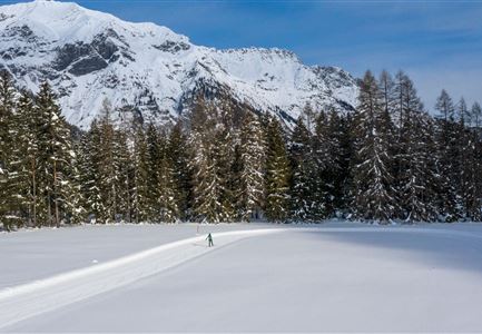
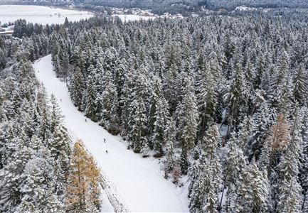
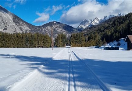
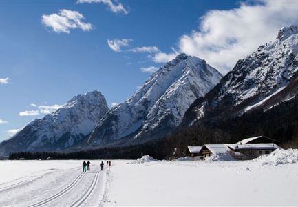
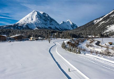
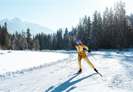
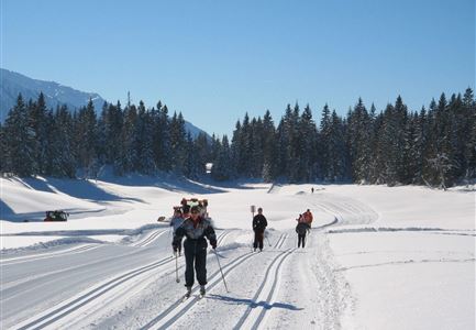
The A1 Night Cross-Country Ski Trail is a gentle, easy trail, ideal for beginners and newcomers. It is groomed for both techniques (classic and skating) and spans a distance of three kilometers.
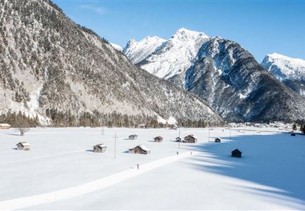
You can start at either Seekirchl or the Seefeld Sports Arena. The trail takes you through the idyllic Möserer Valley, completing a loop back to the starting point.
For those looking to refuel before or after their round, the nearby Sportalm or the restaurant at the Olympic Pool offer a variety of local delicacies. The village center is also within walking distance, where numerous restaurants and shops waiting to be explored!
The A1 trail is one of the few trails in the region equipped with a snowmaking system. We place great emphasis on efficient snow production and continuously optimize our resource consumption.
Connecting Trails:
B1 Mösern and C1 WM trail.
For a complete overview of the entire trail network (including trail status) and useful
Features & Characteristics
Stamina
Technique
Start Point
Seefeld Seekirchl
End Point
Seefeld Seekirchl
Snow cover
Yes
Barrier-free/adaptive cross-country skiing
Yes
Skating
Yes
Klassisch
Yes
Floodlit
Yes
