Start Point
Scharnitz Parking P1 "Ried"
End Point
Scharnitz Parking P1 "Ried"
Difficulty
Hard
Total Distance
13,00 km
Descent Meters
1368 m
Highest Point
2180 m
Total Time
08:30 h
Hiking
Best Time
Jan
Feb
Mar
Apr
May
Jun
Jul
Aug
Sep
Oct
Nov
Dec
Circular hike
Hiking tour
From the P1 Riedboden parking lot, located idyllically at the northern edge of Scharnitz, an exciting and varied hike begins, perfect for adventurers and nature lovers alike. The trail first leads towards Mittenwald. At the first junction, keep right and, after a short distance, turn right again. Cross the Isar bridge and head towards the main road, which you cross slightly to the right near the railway crossing.
Beyond the tracks, a forest path begins, gently climbing towards Mittenwald. At a marked junction, turn right, and then immediately left, following the signs to the Brunnsteinhütte (1,560 m). This first stage rewards you with a cozy rest spot and beautiful views.
The trail continues via the Brunnsteinsteig, winding through countless switchbacks, dense mountain pine forests, and eventually rocky terrain, leading to the Tiroler Hütte at 2,153 meters. Though the hut is not serviced, it offers spectacular views and is an ideal spot to pause and enjoy the surroundings.
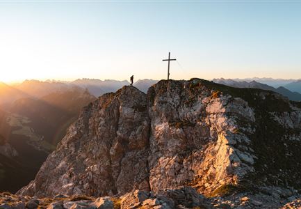
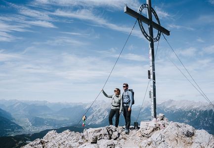
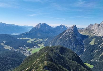
From there, continue right to the Rotwandlspitze, which also marks a border stone, and then proceed to the Brunnsteinspitze. The summit rewards your effort with breathtaking views over Scharnitz and Mittenwald, inviting you to
Features & Characteristics
Stamina
Technique
Start Point
Scharnitz Parking P1 "Ried"
End Point
Scharnitz Parking P1 "Ried"
Loop tour
Yes


