Start Point

Seefeld Railway Station

End Point

Seefeld Railway Station

Difficulty

Easy

Total Distance

16,20 km

Descent Meters

368 m

Ascent Meters

361 m

Highest Point

1335 m

Total Time

05:00 h

Status

Open

Map & Elevation Profile

Start Point

Seefeld Railway Station

End Point

Seefeld Railway Station

Difficulty

Easy

Total Distance

16,20 km

Descent Meters

368 m

Ascent Meters

361 m

Highest Point

1335 m

Total Time

05:00 h

Status

Open

Hiking

Best Time

Open

Jan

Feb

Mar

Apr

May

Jun

Jul

Aug

Sep

Oct

Nov

Dec

Winter walking

Family-friendly

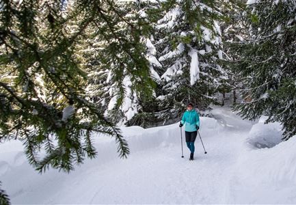
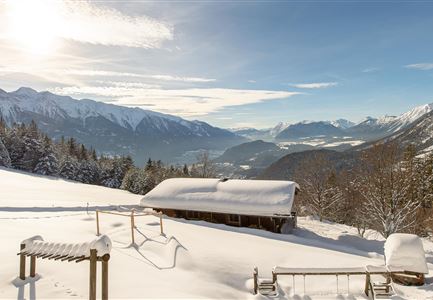
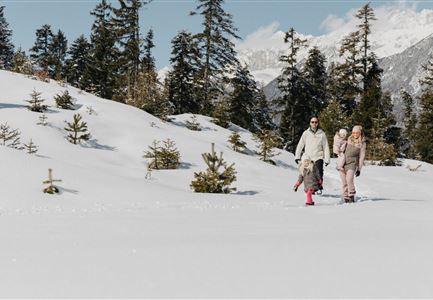
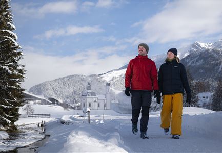
This is a cleared winter hiking trail. However, icy or slippery spots may still occur.

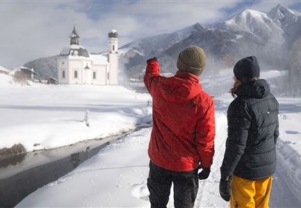
The starting point of the hike is at the Information and Mobility Center in Seefeld, right next to the train station. From there, the path leads through the historic pedestrian zone to the village square. Then, turn right towards Münchnerstraße and follow the signs to Triendlsäge. At Triendlsäge, you can enjoy a cozy break with seasonal specialties and homemade dishes, all prepared in traditional Tyrolean cooking style.

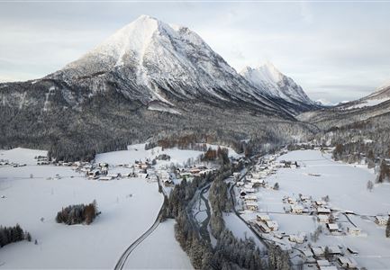
Next, the trail continues through a scenic forest path to Neuleutasch, from where the route gradually ascends through the picturesque Fludertal Valley. Keep following the signs until you reach the Wildmoosalm. The Wildmoosalm is a great spot to relax and enjoy regional specialties.

For the return journey, you can either go back the same way, take a romantic horse-drawn carriage ride, or comfortably return by the Wildmoosbus. Alternatively, you can take a circular walk back to Seefeld via the Hörnmanweg (Trail No. 2), which leads directly to the train station.

Features & Characteristics

Start Point

Seefeld Railway Station

End Point

Seefeld Railway Station

Family-friendly

Yes

Similar Tour Suggestions

Hofladenrunde im Winter_zwei Frauen bei Thoamlhof laufen zum Hofladen.jpg

Hiking

Winter Circular Hike Leutasch Farm Shop

Length

11,10 km

Duration

03:10 h

Uphill

111 hm

Downhill

108 hm

Altitude

1194 hm

Difficulty

Easy

Open
W18 Schlagweg Rauthgatter Richtung Lottensee und Wildmoos.jpg

Hiking

W16: Winter hike from Leutasch to Seefeld

Length

6,60 km

Duration

02:15 h

Uphill

164 hm

Altitude

1225 hm

Difficulty

Easy

Open
Oberer Wiesenweg im Frühwinter_Paar läuft auf Wanderweg_Blick auf Stadl und Hohe Munde.jpg

Hiking

W17: Winter circular hike on the Wiesenweg

Length

6,20 km

Duration

01:45 h

Uphill

61 hm

Altitude

1193 hm

Difficulty

Easy

Open
Gaistalalm im Winter - Drohnennahaufnahme von der Seite mit Wettersteingebirge (2).jpg

Hiking

W12: Winter hike to the Gaistalalm

Length

8,20 km

Duration

02:30 h

Uphill

182 hm

Altitude

1366 hm

Difficulty

Easy

Open
Winterwandern im Möserer Tal

Hiking

W8: Winter Hike to the Seewaldalm

Length

6,23 km

Duration

02:00 h

Uphill

51 hm

Altitude

1236 hm

Difficulty

Easy

Open
Triendlsäge im Winter - Gebäude mit Pferdekutsche.jpg

Hiking

W4: Winter Circular Hike Seefeld - Triendlsäge

Length

7,50 km

Duration

02:15 h

Uphill

147 hm

Altitude

1198 hm

Difficulty

Easy

Open
winterwandern_paar_oberer_wiesenweg_paar_von_vorne_mit_huette.jpg

Hiking

Stage 3: From Burggraben through the Leutasch valley to Weidach - Seefeld High Plateau Winter Multi-day Hike

Length

14,20 km

Duration

04:00 h

Uphill

144 hm

Downhill

57 hm

Altitude

1162 hm

Difficulty

Easy

Open
Winterwandern in der Region Seefeld_Drohnenaufnahme_Mann und Frau laufen entlang des Ufers des Wildsees (1).jpg

Hiking

W7: Winter circular hike Reith - Seefeld - Reith

Length

8,70 km

Duration

02:30 h

Uphill

118 hm

Downhill

121 hm

Altitude

1200 hm

Difficulty

Easy

Open