Discover the Diversity of the Tyrolean Mountains
Circular Hikes in Tyrol | Region Seefeld
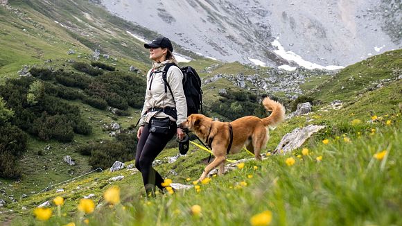
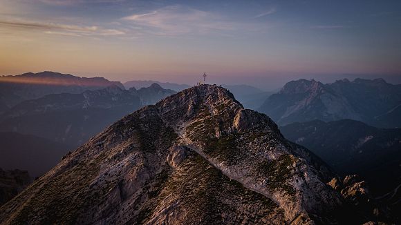
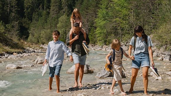
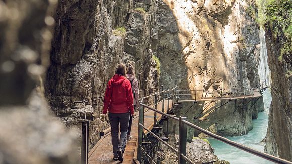
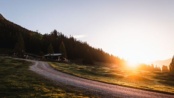
Circular hikes in Tyrol offer the advantage that your end point is also your starting point – without ever feeling like you’re just walking in circles. The diversity of the Tyrolean mountains can be explored at your own pace, without retracing your steps. From short village loops to extensive panoramic tours, these varied routes lead through forests, across alpine pastures, along crystal-clear rivers and streams – and to spectacular viewpoints. In Region Seefeld, you’ll find the perfect circular hike for every level: enjoyable, close to nature, and always with that special high plateau feeling.
Important Information:
- Guided hikes or individual tours with tourist guides and hiking guides.
- Refreshment stops with current opening times are linked in each tour; a complete overview of all alpine pastures & huts (including a filter for open huts) is also available online.
- Use the filters to find routes by category, length, elevation gain, and location.
- Follow the rules of conduct and check current trail closures online.
- Guest card = free use of regional buses, the Seefeld–Scharnitz train, and the Wildmoos bus (available from your accommodation provider).
Tip: Top 5 Easy Hikes with Culinary Delights
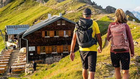
Who says you need steep peaks for mountain adventures? A short hike including a stop at a charming mountain hut can also make your senses tingle! At least that's always been my experience when I was out and about on the hiking trails in Seefeld, Leutasch and the like. In this blog you will find the top 5 easy hut hikes with really great food in the Region Seefeld.


