Start Point

Katzenkopf Mountain Station Leutasch

End Point

Katzenkopf Mountain Station Leutasch

Difficulty

Medium

Total Distance

7,50 km

Descent Meters

150 m

Highest Point

1390 m

Status

Closed

Map & Elevation Profile

Start Point

Katzenkopf Mountain Station Leutasch

End Point

Katzenkopf Mountain Station Leutasch

Difficulty

Medium

Total Distance

7,50 km

Descent Meters

150 m

Highest Point

1390 m

Status

Closed

Cross-country Skiing

Best Time

Closed

Jan

Feb

Mar

Apr

May

Jun

Jul

Aug

Sep

Oct

Nov

Dec

Ski-nordic

Ski-nordic-classic

This trail is freshly groomed every day. However, icy and slippery sections may still occur.

Trail access:
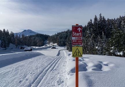
Directly at the Katzenkopf Hut or via C3 Neuleutasch and A3 Torfstich.

Trail character:
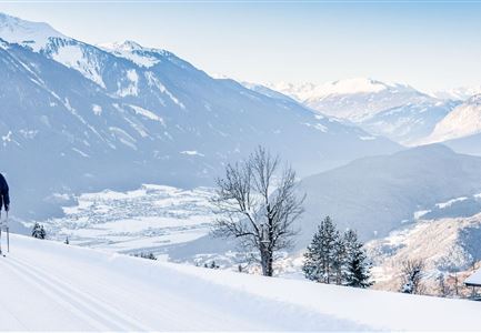
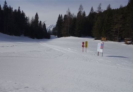
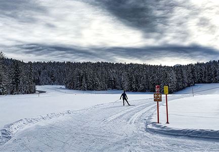
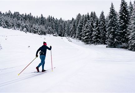
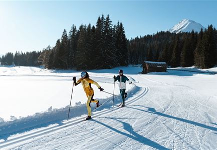
The new Leutasch–Wildmoos high-altitude trail is a real highlight for cross-country skiing enthusiasts. The 6.5 km route revives parts of the 1976 Olympic trail. Groomed for both classic and skating techniques, the track runs mostly in two-way traffic and is demanding, therefore only suitable for experienced skiers. This beautiful course is a true natural gem, running between the Katzenkopf mountain station and the A3 Torfstich trail/ Wildmoosalm. It can be reached via the extensive trail network from the entire region – for example from Seefeld, Leutasch, Neuleutasch, and Mösern-Buchen. A special highlight: cross-country skiers enjoy a free ride on the Katzenkopf lift from Leutasch (valid only when the trail is open & with cross-country skiing equipment).

Connecting trails:
C3 Neuleutasch, C5 Kaserwald, and A3 Torfstich. For a complete overview of the trail network (including real-time trail status) and useful information on cross-country skiing (ticket machines, waxing and service stations,

Features & Characteristics

Start Point

Katzenkopf Mountain Station Leutasch

End Point

Katzenkopf Mountain Station Leutasch

Skating

Yes

Klassisch

Yes
Similar Tour Suggestions

Loipe bei der Ropferstub'm mit Blick ins Inntal - Moesern-Buchen

Cross-country Skiing

B5 - Katzenloch

Length

5,00 km

Uphill

67 hm

Altitude

1260 hm

Difficulty

Medium

Closed
Langlaufen in der Region Seefeld - Klassisch - Ferienheim Wildmoos (3).jpg

Cross-country Skiing

B3 - Wildmoos See

Length

2,90 km

Uphill

49 hm

Altitude

1331 hm

Difficulty

Medium

Closed
B7 Panoramaloipe Klassisch

Cross-country Skiing

B7 - Panorama

Length

2,40 km

Uphill

62 hm

Altitude

1220 hm

Difficulty

Medium

Closed
B7 Klassisch.jpg

Cross-country Skiing

B9 - Triendlsäge

Length

3,00 km

Altitude

1163 hm

Difficulty

Medium

Closed
Loipe B11 Waldloipe Drohne

Cross-country Skiing

B11 – Waldloipe

Length

2,70 km

Uphill

51 hm

Altitude

1183 hm

Difficulty

Medium

Closed
LL B10 Moeserer See - Seefeld.jpg

Cross-country Skiing

B10 - Möserer See

Length

2,50 km

Uphill

96 hm

Altitude

1323 hm

Difficulty

Medium

Closed
Klassische Langlauf Spur

Cross-country Skiing

B6 - Interalpen Connection East

Length

500 m

Uphill

13 hm

Altitude

1342 hm

Difficulty

Medium

Closed
Drohnenbild Top Down einzelner Läufer in Lücke zwischen Bäumen.jpg

Cross-country Skiing

B14 – Waldloipe Alpenbad

Length

2,80 km

Uphill

30 hm

Altitude

1160 hm

Difficulty

Medium

Closed