Start Point

Wildmoosalm Seefeld

End Point

Wildmoosalm Seefeld

Difficulty

Easy

Total Distance

1,80 km

Descent Meters

11 m

Highest Point

1317 m

Status

Closed

Map & Elevation Profile

Start Point

Wildmoosalm Seefeld

End Point

Wildmoosalm Seefeld

Difficulty

Easy

Total Distance

1,80 km

Descent Meters

11 m

Highest Point

1317 m

Status

Closed

Cross-country Skiing

Best Time

Closed

Jan

Feb

Mar

Apr

May

Jun

Jul

Aug

Sep

Oct

Nov

Dec

Ski-nordic

Ski-nordic-classic

Trail Entry Point:
at the Wildmoosalm

Trail Character:

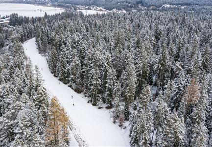
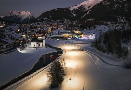
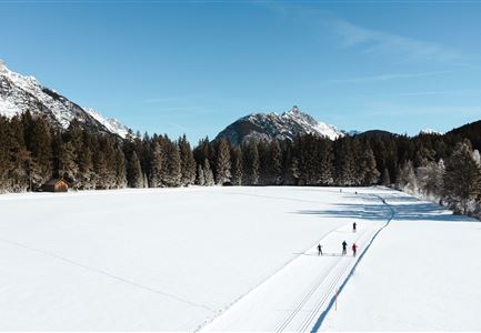
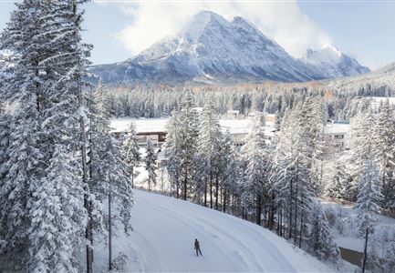
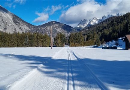
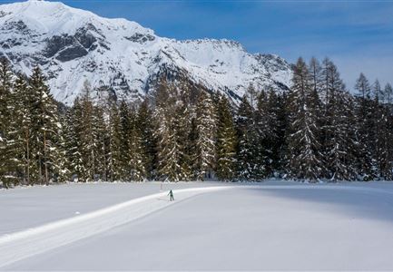
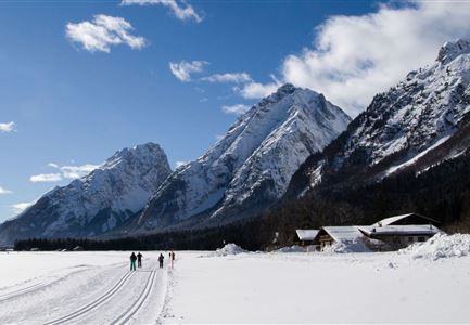
The A3 Torfstich Trail is a short, flat circular cross-country ski trail set amidst the peaceful high plateau landscape surrounding Wildmoos. It stretches 1.8 kilometres and winds through moorland, forest, and open terrain, offering wonderful views of the surrounding scenery. The trail starts and ends at the Wildmoosalm – a perfect spot for a break or as a base to combine with other trails.
Note:
Trail conditions can change throughout the day depending on the weather. Please be aware that icy sections or deep grooves may occur. Adjust your skiing accordingly.

Connecting Trails:
B3 Wildmoos See, C2 Wildmoos and C3 Neuleutasch

An overview of the entire cross-country skiing network (incl. trail status) and helpful cross-country skiing information (ticket machines, waxing and service points, changing facilities, ...) can be found in the cross-country skiing report.

Features & Characteristics

Stamina

Technique

Start Point

Wildmoosalm Seefeld

End Point

Wildmoosalm Seefeld

Skating

Yes

Klassisch

Yes
Videos

Similar Tour Suggestions

Luftaufnahme der Loipe A10 Weidach mit Langlaeuferin und Hoher Munde.jpg

Cross-country Skiing

A10 – Weidach

Length

1,70 km

Uphill

14 hm

Altitude

1120 hm

Difficulty

Easy

Closed
Snowfarming Loipe Leutasch

Cross-country Skiing

A2 - Snowfarming track Leutasch

Length

2,80 km

Uphill

20 hm

Altitude

1150 hm

Difficulty

Easy

Closed
Neuschnee und Snowlarming Eröffnung-18.jpg

Cross-country Skiing

A6 - Alpenbad

Length

5,00 km

Uphill

20 hm

Altitude

1160 hm

Difficulty

Easy

Closed
Langlaufen-A4-Muggenmoos-Loipe---Buchen

Cross-country Skiing

A4 - Muggenmoos

Length

1,60 km

Uphill

15 hm

Altitude

1262 hm

Difficulty

Easy

Closed
A13 Scharnitz

Cross-country Skiing

A13 - Scharnitz-Klassik

Length

2,00 km

Uphill

32 hm

Altitude

998 hm

Difficulty

Easy

Closed
Langlaufloipe A11

Cross-country Skiing

A11 - Bodenalm

Length

10,70 km

Uphill

60 hm

Altitude

1037 hm

Difficulty

Easy

Closed
Loipe A5 Obern in Leutasch - Luftaufnahme (2).jpg

Cross-country Skiing

A5 - Obern

Length

5,30 km

Uphill

29 hm

Altitude

1177 hm

Difficulty

Easy

Closed
Langlaufen in Seefeld - Langläufer auf der A1 beim Seekirchl in Seefeld - Tirols Hochplateau (1).jpg

Cross-country Skiing

A1 - Seekirchl Loipe

Length

3,00 km

Uphill

19 hm

Altitude

1189 hm

Difficulty

Easy

Closed