We use cookies for your personalized browsing experience, to personalize content and ads, to provide social media features, and to analyze traffic to our website. We also share information about your use of our website with our social media, advertising and analytics partners. Our partners may combine this information with other data that you have provided to them or that they have collected as part of your use of the Services. (incl. US providers)
Small and large bike tours – together by bike trough the region

Small and large bike tours – together by bike trough the region

Family-friendly bike routes

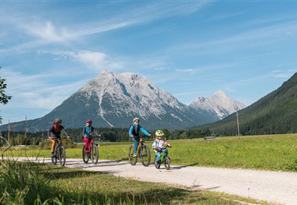
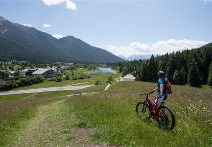
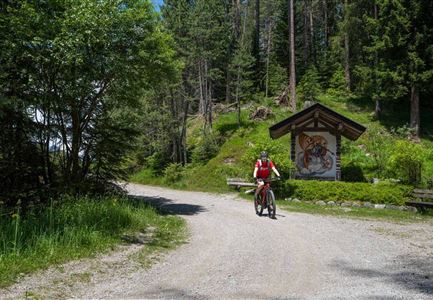
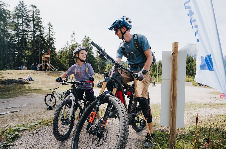
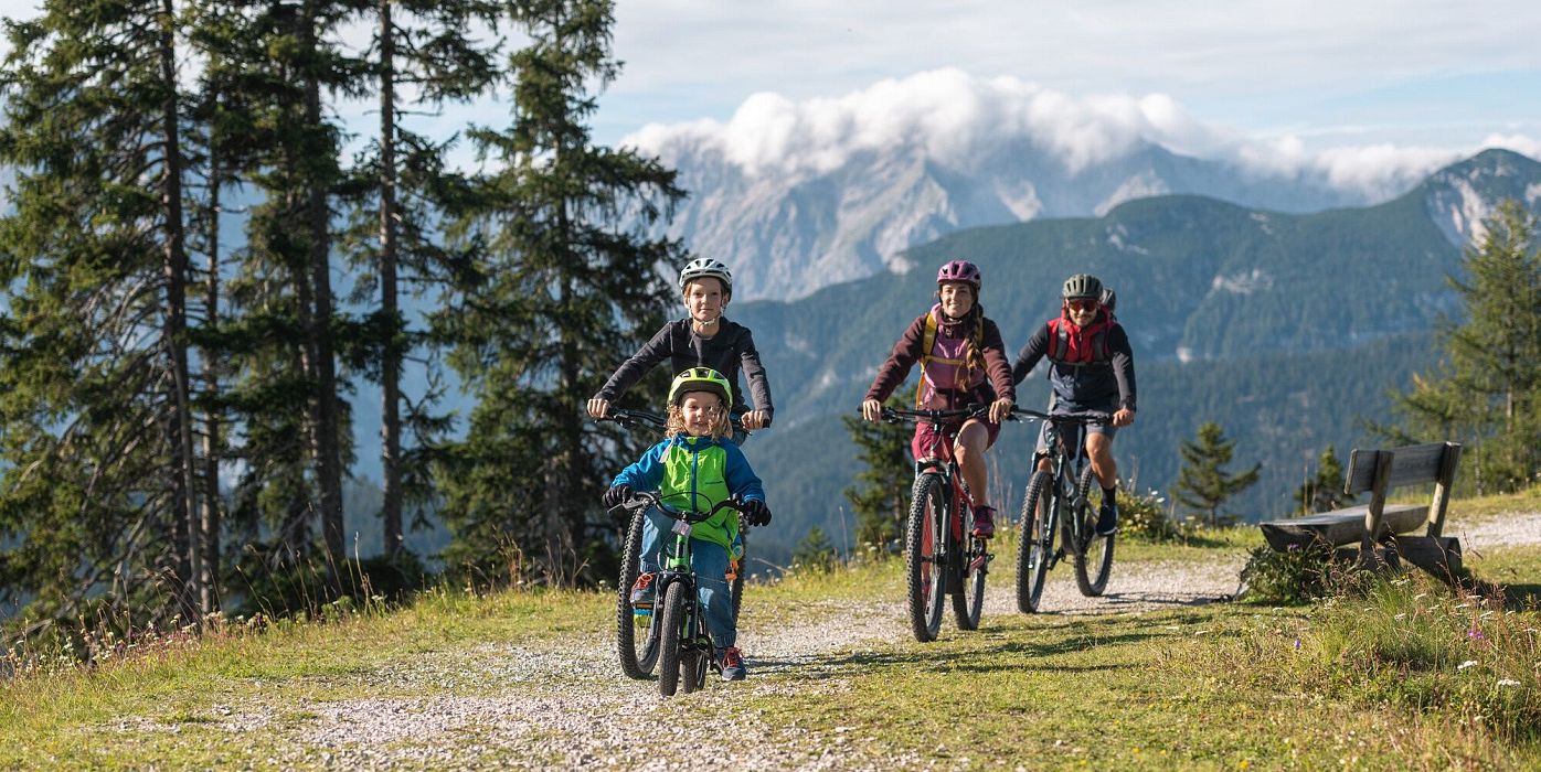
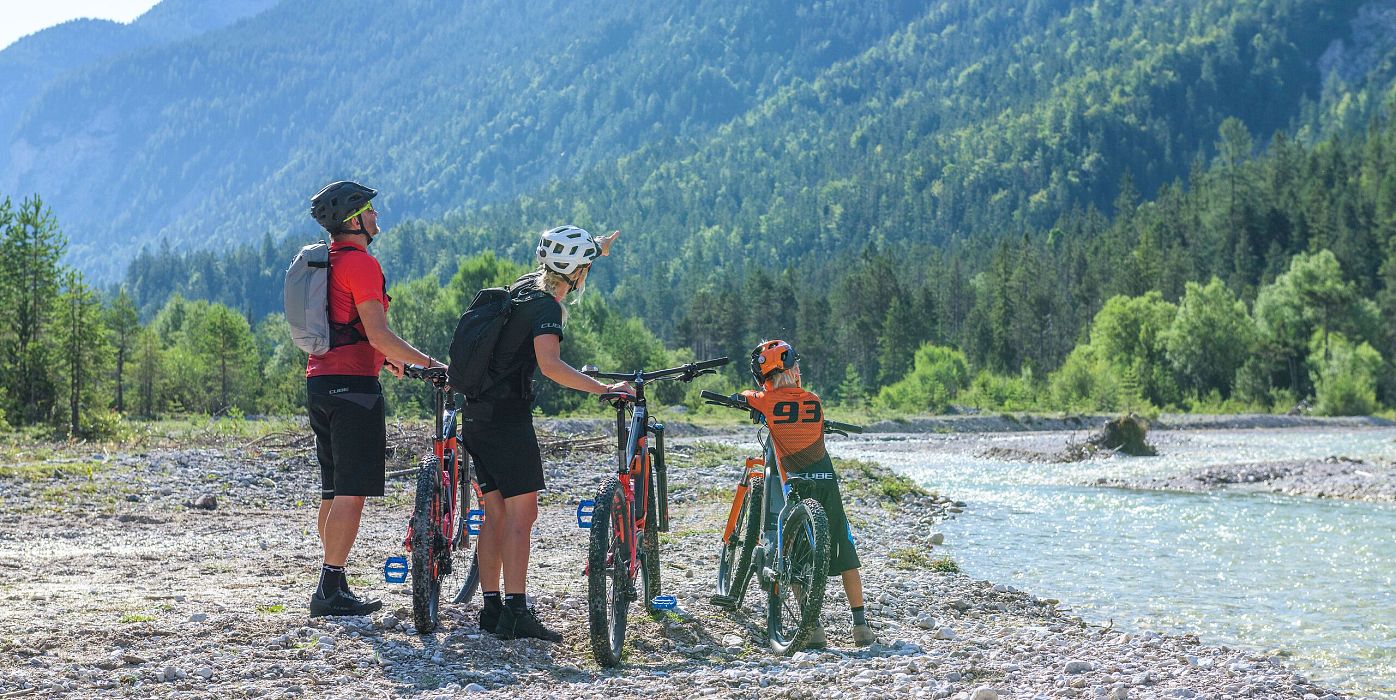
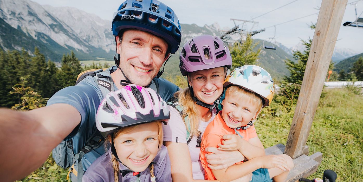
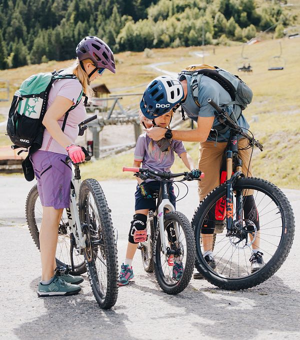
The extensive Region Seefeld can also be easily explored on many wide and comfortable cycle paths with a running bike, children's trailer or children's bike: From Scharnitz there are only a few climbs through the Karwendel Nature Park, in Leutasch there are easy bike routes along the Ache river and into the paradise of Gaistal, and on the family mountain Katzenkopf there is even a real bike park waiting for the youngsters! If you still like to keep your luggage compact, you can simply rent suitable equipment from bike tours to downhill. Just don't forget: Real heroes wear helmets!

EASY BIKE TRAILS UP TO 10 KM

The first kilometres in the Region Seefeld

Gaistal

Cycling

Biketour Tillfussalm alpine hut

Length

9,60 km

Uphill

174 hm

Altitude

1358 hm

Difficulty

Easy

Verbindung-Seefeld-Reith Pfarrhügel (c) Anna Rieder

Cycling

Bike-connection No. 5030 Seefeld-Reith

Length

5,10 km

Uphill

108 hm

Downhill

49 hm

Altitude

1190 hm

Difficulty

Easy

E-Bike-Pause-bei-Huette.jpg

Cycling

Bike-connection No. 546 Mösern-Seefeld

Length

5,30 km

Uphill

100 hm

Downhill

130 hm

Altitude

1240 hm

Difficulty

Medium

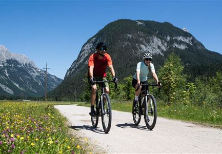
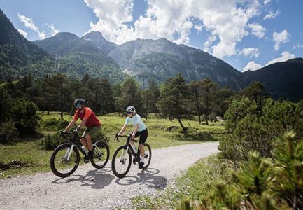
Gravelbike - Bikeweg im Gaistal.jpg

Cycling

Biketour No. 5047 Gaistal-Hämmermoosalm

Length

3,90 km

Uphill

188 hm

Altitude

1417 hm

Difficulty

Medium

KatzenkopfLeutasch - Blauer Trail

Cycling

Bikepark Katzenkopf - Kitty Twister Trail

Length

2,10 km

Downhill

220 hm

Altitude

1360 hm

Difficulty

Easy

Bikepark Katzenkopf - Grüner Trail

Cycling

Bikepark Katzenkopf - Green Pangea Trail

Length

600 m

Downhill

43 hm

Altitude

1360 hm

Difficulty

Easy

Familie beim Radfahren - Leutasch

Cycling

Biketour family adventure trail

Length

8,70 km

Uphill

3 hm

Downhill

76 hm

Altitude

1205 hm

Difficulty

Easy

Radfahrerinnen bei herbstlichem Wetter auf dem Weg zur Gaistalalm (1).jpg

Cycling

Biketour Gaistalalm alpine hut

Length

4,00 km

Uphill

136 hm

Downhill

30 hm

Altitude

1356 hm

Difficulty

Easy

LONGER DISTANCES UP TO 25 KM

Small challenges with more kilometres

Möserer See im Frühling - Paar auf Liege vor Möserer Seestube von aus der Entfernung.jpg

Cycling

Biketour No. 544 Mösern-Wildmoos around the Brunschkopf

Length

11,50 km

Uphill

300 hm

Altitude

1387 hm

Difficulty

Medium

Muggenmoosalm bei Leutasch im Sommer - Drohnenaufnahme.jpg

Cycling

Biketour No. 5048 Muggenmoosalm

Length

15,40 km

Uphill

377 hm

Altitude

1370 hm

Difficulty

Medium

Partially open
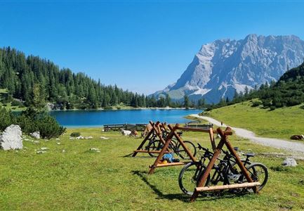
Seebensee mit Raeder im Vordergrund

Cycling

Biketour No. 551 Seebensee

Length

11,60 km

Uphill

410 hm

Downhill

30 hm

Altitude

1658 hm

Difficulty

Medium

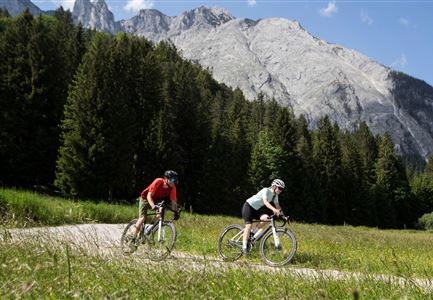
Gravelbiken in der Region Seefeld (3).jpg

Cycling

Radwanderroute: Scharnitz - Seefeld - Reith

Length

18,50 km

Uphill

320 hm

Downhill

140 hm

Altitude

1200 hm

Difficulty

Easy

Scharnitz - Wanderung Dorfrunde - Weg bei Gießenbach (1).jpg

Cycling

Radwanderroute: Reith - Seefeld - Scharnitz

Length

18,50 km

Uphill

140 hm

Downhill

320 hm

Altitude

1200 hm

Difficulty

Easy

Gravelbiker auf dem Radweg zwischen Mittenwald und Scharnitz im Sommer

Cycling

Biketour Scharnitz - Mittenwald (Bavaria) - Scharnitz

Length

15,10 km

Uphill

48 hm

Downhill

52 hm

Altitude

963 hm

Difficulty

Easy

Reitherjoch-Alm (c) Anna Rieder

Cycling

Biketour No. 5032 Reitherjoch Alm

Length

12,60 km

Uphill

385 hm

Altitude

1505 hm

Difficulty

Medium

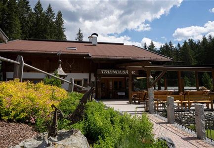
Triendlweg-Bauernwald Gasthaus Triendlsäge (c) Anna Rieder

Cycling

Biketour No. 535 Triendlweg-Bauernwald

Length

8,60 km

Uphill

217 hm

Altitude

1220 hm

Difficulty

Medium

Gravelbiker auf dem Radweg durch das Leutaschtal im Sommer

Cycling

Biketour No. 537 through the Leutasch valley

Length

16,10 km

Uphill

6 hm

Downhill

175 hm

Altitude

1205 hm

Difficulty

Easy

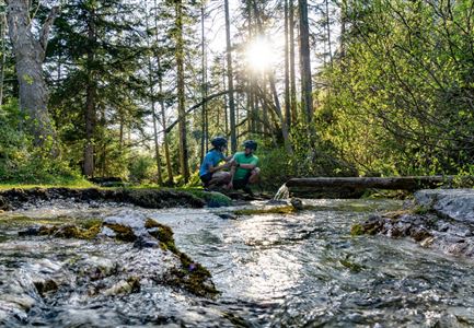
Erfrischende Rast an den Isarquellen

Cycling

Biketour No. 578 Hinterautal-Isarursprung-Kastenalm

Length

28,00 km

Uphill

327 hm

Downhill

324 hm

Altitude

1220 hm

Difficulty

Easy