Start Point
Parkplatz Puitbach/Ahrn Leutasch
End Point
Parkplatz Puitbach/Ahrn Leutasch
Difficulty
Easy
Total Distance
13,70 km
Descent Meters
81 m
Highest Point
1092 m
Status
Cross-country Skiing
Best Time
Jan
Feb
Mar
Apr
May
Jun
Jul
Aug
Sep
Oct
Nov
Dec
Adaptive nordic skiing
This trail is freshly groomed every day. However, icy and slippery sections may still occur.
Trail Entry Point:
At the Puitbach/Ahrn parking lot in the Puitbach district.
Trail Character:
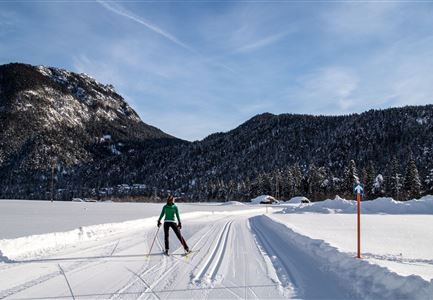
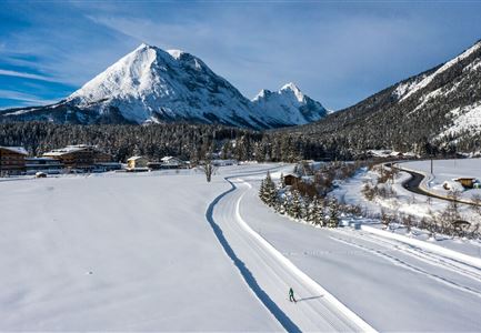
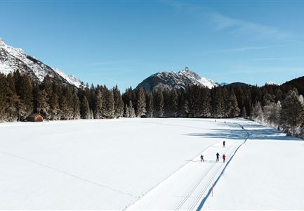
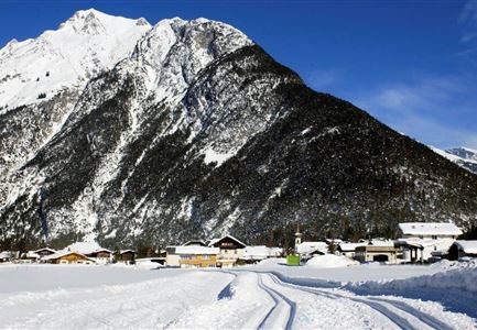
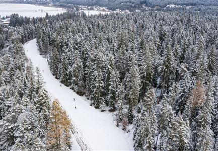
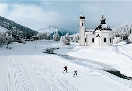
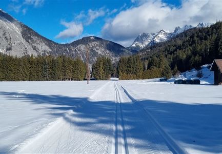
The trail leads downhill, partially following the Ache River, crossing several bridges at the base of the striking Arnspitze and Arnplattenspitze mountains. It gently descends to Burggraben, turns near Gasthof Mühle, and then climbs slightly back toward Ahrn. With a tailwind, the incline is hardly noticeable. The A9 Unterleutasch is a fantastic loop offering an impressive natural experience, stretching over a total of 13.7 km. For a shorter route, you can take bus 431 back to Puitbach from Gasthof Mühle, Gasthaus Brücke, or Pension Reiterklause. The bus schedule can be found here. Gasthof Mühle and Gasthaus Brücke are also perfect spots for a break, offering cozy taverns and delicious Tyrolean specialties.
Connecting Trails:
A7 Gasse, A8 Lehner, and A14 Bärenwirt. An overview of the entire trail network (including trail conditions) and useful cross-country skiing information (ticket machines, waxing and service stations, changing
Features & Characteristics
Stamina
Technique
Start Point
Parkplatz Puitbach/Ahrn Leutasch
End Point
Parkplatz Puitbach/Ahrn Leutasch
Skating
Yes
Klassisch
Yes
Barrier-free/adaptive cross-country skiing
Yes
