Map & Elevation Profile
More Links
Start Point
Seefeld Seekirchl
End Point
Seefeld Seekirchl
Difficulty
Easy
Total Distance
13,10 km
Descent Meters
275 m
Ascent Meters
272 m
Highest Point
1369 m
Total Time
04:00 h
Hiking
Best Time
Jan
Feb
Mar
Apr
May
Jun
Jul
Aug
Sep
Oct
Nov
Dec
Circular hike
Hiking tour
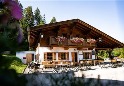
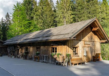
Over 13 picturesque kilometers through the meadows and forests around Brunschkopf, this impressive leisurely hike visits several huts and, with some luck, the two rare, aperiodic natural phenomena of Wildmoos and Lottensee. A detour to Möserer See also rewards with a refreshing dip in one of the warmest swimming lakes in Tyrol.
Tip: You can access the hiking loop from the three villages of Mösern, Seefeld, and Leutasch. The following variant starts from Seefeld's Seekirchl and goes via Wildmoos. The loop is signposted in both directions and can be hiked from all three locations. With enough energy and motivation, you can also climb the Brunschkopf Viewing Platform from several junctions: From Seefeld via Geiernest, from Leutasch via Wildmoosalm, and from Mösern via the forest road or Möserer Höhe. There is also a marked trail from Wildmoossee to the Brunschkopf Viewing Platform.
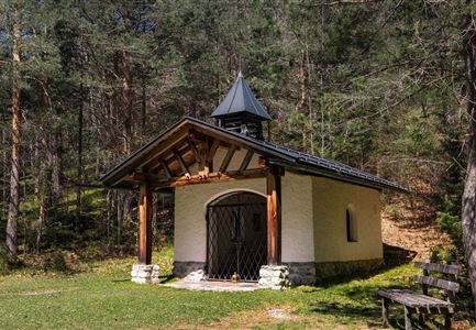
Starting at Seekirchl, follow the signs toward Brunschkopf/Wildmoosalm, walk along the stream on the boardwalk until you reach the underpass. Head right uphill to the
Features & Characteristics
Start Point
Seefeld Seekirchl
End Point
Seefeld Seekirchl
Loop tour
Yes
Family-friendly
Yes
Videos
Similar Tour Suggestions

