Truly Woof
Hikes with Dogs in Tyrol | Region Seefeld
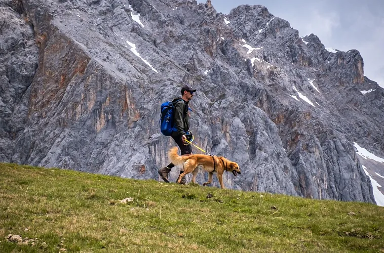
Region Seefeld offers the perfect setting for unforgettable hiking adventures with your loyal companions. From scenic trails and varied circular hikes to leisurely hut tours – you’ll find the perfect route for every pair of paws. Stroll through our charming villages or enjoy the freedom of our dedicated dog off-leash areas. Here, there’s something for every dog and their owner!
Easy & Moderate Hikes with a Dog


Hut Hikes with a Dog


Circular Hikes with a Dog


Village Walks & Strolls with a Dog


Waterside Hikes with a Dog
Winter Hikes with a Dog
No salt is used to grit the hiking trails, but grit may be applied on icy or steep sections. To protect your dog's paws in winter, consider using creams, care products, and, if necessary, special dog shoes.


Dog off-leash area


Tips for your holiday with dog
Planning a trip with your four-legged friend? In Region Seefeld you’ll find dog-friendly accommodation, gentle walking routes, refreshing swimming spots and mountain huts that welcome dogs – perfect for active days and relaxing moments on Tirols Hochplateau.